Thank you for that, I shall give it a go and see what happens.
Regards
Gordon
Geo Data - New Zealand
Re: Geo Data - New Zealand
Hi Geophil,
Well, i loaded the Geotiff changed the settings to NZTM and it would not load the route shp file.
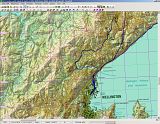
But all is not lost, I had downloaded all of the New Zealand DEM's from another site before it was closed.
Loaded the dem for wellington, aligned it with a google earth bookmark, then loaded the railway_cl.shp from the LINZ site and had no problems.
Exported the file to Trainz with out any problems, the question I have now is can the settings be changed to produce more of the map? I would like the airport
area to be formed as well but at the moment it will not produce this area.
Gordon
Well, i loaded the Geotiff changed the settings to NZTM and it would not load the route shp file.
But all is not lost, I had downloaded all of the New Zealand DEM's from another site before it was closed.
Loaded the dem for wellington, aligned it with a google earth bookmark, then loaded the railway_cl.shp from the LINZ site and had no problems.
Exported the file to Trainz with out any problems, the question I have now is can the settings be changed to produce more of the map? I would like the airport
area to be formed as well but at the moment it will not produce this area.
Gordon
Re: Geo Data - New Zealand
Well, I guess TransDEM did not georeference the GeoTIFF image at all. I downloaded BQ31 myself to find out what's going wrong.nzldbart wrote:Well, i loaded the Geotiff changed the settings to NZTM and it would not load the route shp file.
Trouble is, LINZ is using non-standard geo tags for their topo maps. There is an industry standard for encoding spatial reference systems, originally set by the oil industry (EPSG = European Petroleum Survey Group). And there is a code for NZTM. LINZ, for whatever reason, is not using this code, but providing a text string instead. The nature of such text strings is their volatility. And this is exactly what happened here. The strings are now different to those assigned last year. Perhaps the reason why they call it version 2 now.
While, theoretically, TransDEM is able to accept additional entries to its coordinate system data set at runtime, a tiny little bug currently prevents this. I will fix that and provide an update.
Which settings do you mean?nzldbart wrote:...the question I have now is can the settings be changed to produce more of the map?
Re: Geo Data - New Zealand
We are getting there...
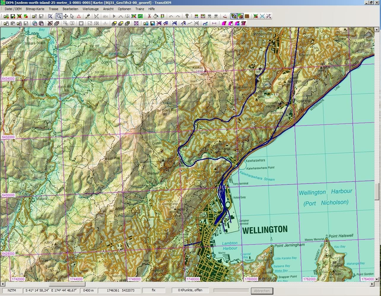
The new custom GeoTIFF text string to identify NZTM for the Topo 50 is working in my lab environment:
And it's rendered on top of the 25m DEM.
I don't know why I couldn't find it in the first place, but the LRIS site does offer proper DEM data - for free:
NZDEM North/South Island 25 metre
I have only tested ASCII Grid so far and it works. Floating point resolution!