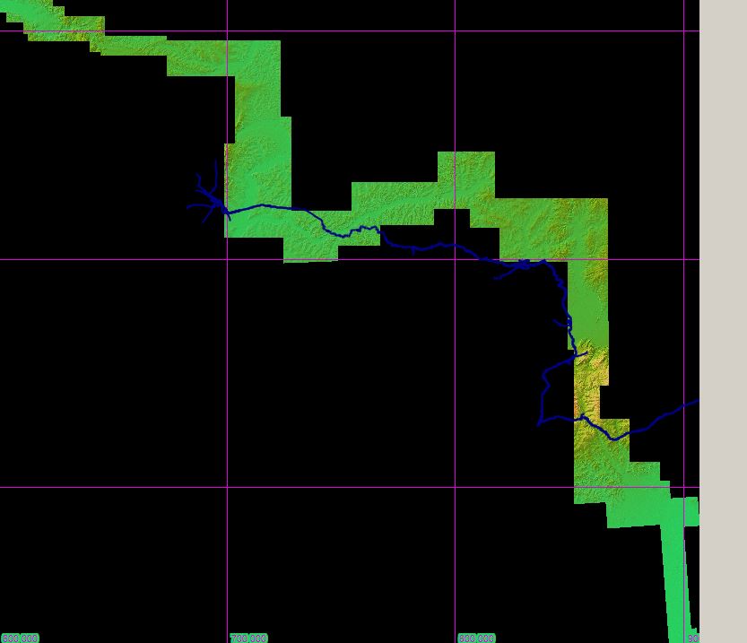
But after I export to GPX and import into JOSM, the same place has different coordinates:
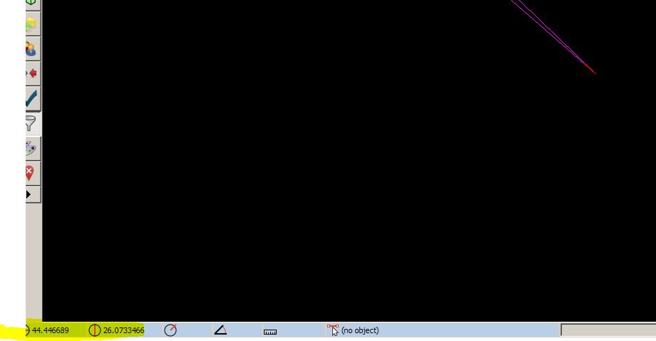
This is why it is skewed; now, why it has different coordinates, I can't tell..
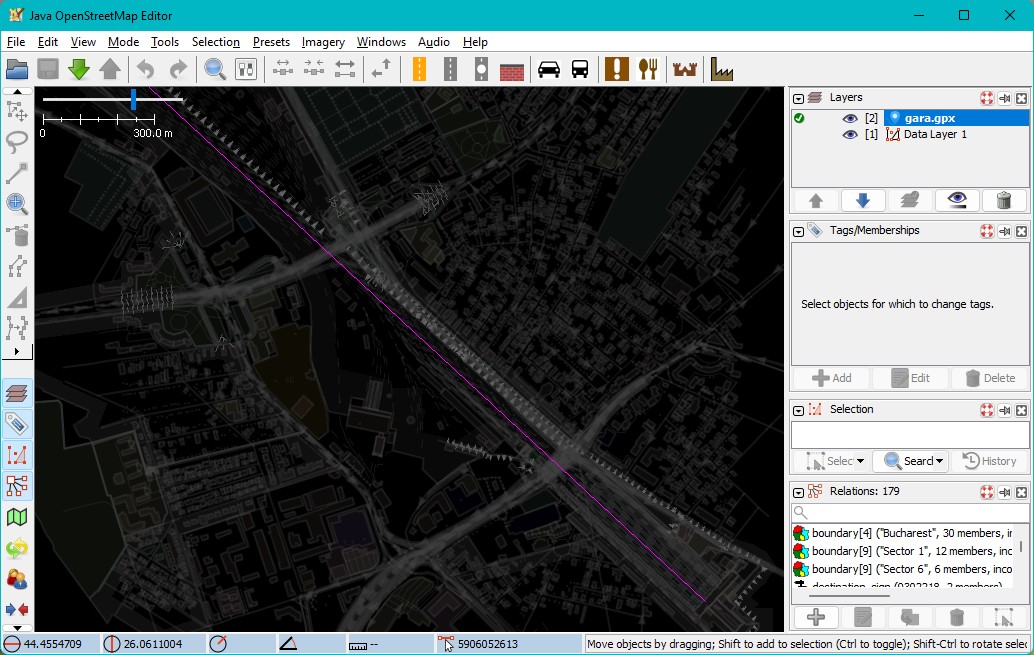
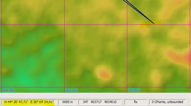
I also noticed here that your coordinates are not ok either, look below; it should not be N 44 45 E 26.06, but N 44 26 and E 26.04. If you import this in TransDEM it will not fit correctly.geophil wrote:
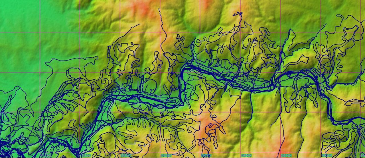
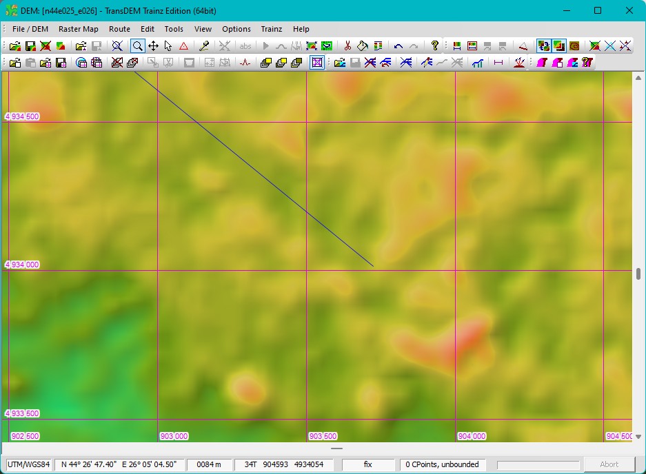
And the vector line exported as GPX, opened in JOSM and OSM data downloaded for it:
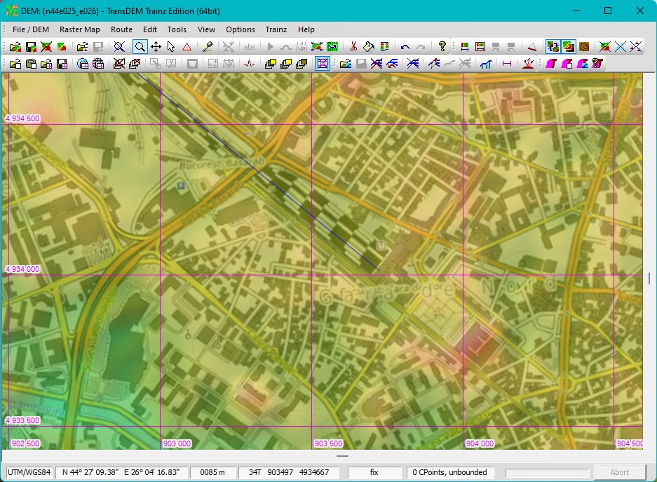
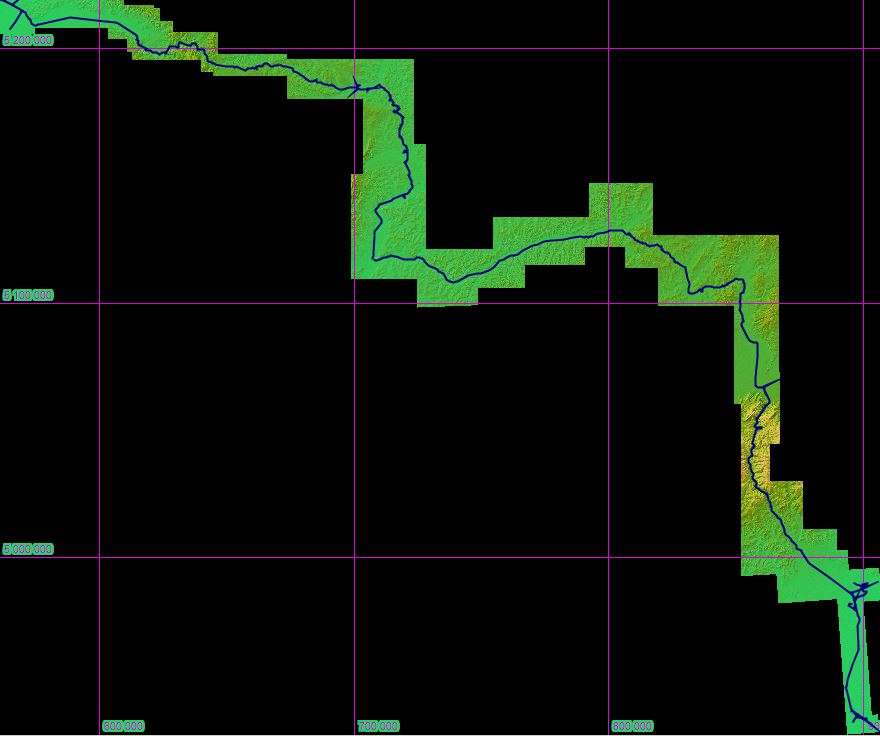
All is well aligned.