Hi has anyone had problems of adding so much dem data and a error that pops up if you try and add more dem such as, (dem operation failed) is common error. I am trying to build the whole of the uk on transdem, instead of opening peace by peace all time for my route and other routes as well.
as I done many ways to try add more, but's the same result every time.
At this moment I am converting raster maps into utm files which matches up with the dem that I am trying to create of the uk and no problems there.
I hope anyone that can give me a way to help me get round this. As there is no option to add more when it reaches a point when the error pops up (dem operation failed)
I found this program very easy to use and understanding it very well.
yours
Matthew ps I got 64bit PC and 8gb ram
Error and questions
Re: Error and questions
Piece by piece would be the preferred way. The whole of the UK at 50m (using the O/S Land-Form Panorama data set) would certainly break the bank (exceed addressable memory).MNIBARI08 wrote:Hi has anyone had problems of adding so much dem data and a error that pops up if you try and add more dem such as, (dem operation failed) is common error. I am trying to build the whole of the uk on transdem, instead of opening peace by peace all time for my route and other routes as well.
Make smaller modules in TransDEM and combine them in Trainz Surveyor to form a bigger route.
There is a feature in TransDEM that will allow you to seamlessly merge smaller Trainz route modules in Surveyor. This is because TransDEM preserves a static mapping between Trainz baseboard edges and the underlying coordinate system in TransDEM, the UTM grid.
There is one decision to take. UTM divides the world into zones, each 6 degrees longitude wide. The UK lies in zones 30 and 31, separated, not surprisingly, by the Greenwich meridian. You have to select one of the two zones. So, if you opt for zone 30, TransDEM will allow you to convert all DEMs in zone 31 to be converted to zone 30 as well. And seamless merging will work across the zone boundary.
Re: Error and questions
I can understand that to degree, is it ok if you do a a video tutorial on this to show how it is done as The UK is very big and how it will look as it is exported bit by bit
thanks
Matthew
thanks
Matthew
Re: Error and questions
Preparing for seamless merging in Trainz Surveyor is explained in the TransDEM Trainz manual, tutorial 2, page 61 in the current edition.
Transforming a DEM file to the adjacent UTM zone is a simple function call in TransDEM, available from the edit menu or the main toolbar.
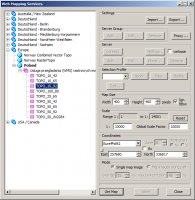
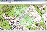
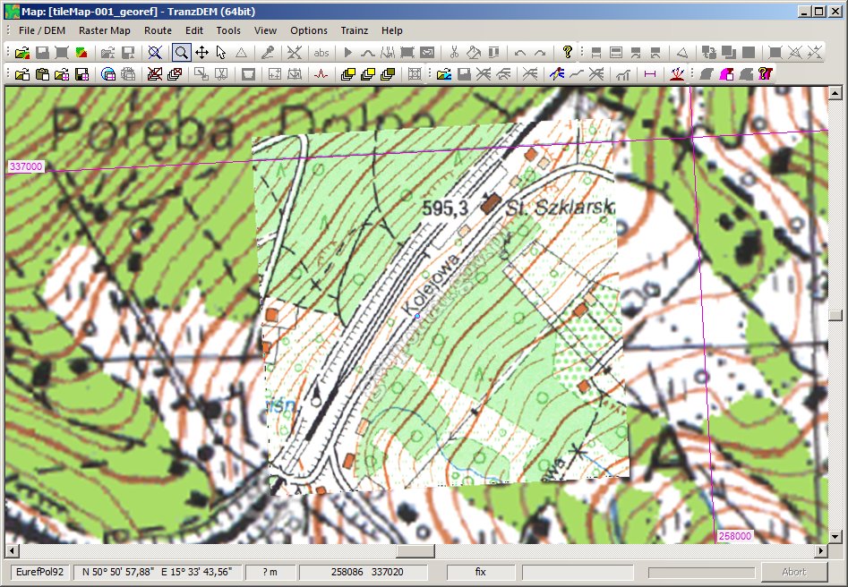
Zone conversion of raster maps and vector data is a bit more challenging, but the necessary functions are all built in. See here for a tutorial: Crossing UTM zone borders.
Transforming a DEM file to the adjacent UTM zone is a simple function call in TransDEM, available from the edit menu or the main toolbar.
Zone conversion of raster maps and vector data is a bit more challenging, but the necessary functions are all built in. See here for a tutorial: Crossing UTM zone borders.


Re: Error and questions
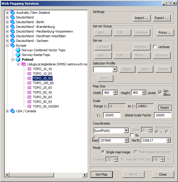
The Polish WMS has been slow and timed out occasionally, but I just checked and it appears to work from here.
Re: Error and questions
geophil wrote:The Polish WMS has been slow and timed out occasionally, but I just checked and it appears to work from here.
Connected to the Internet. Map does not show.