Nautical Charts and TransDEM
Posted: 03 Mar 2019 19:07
Good Afternoon,
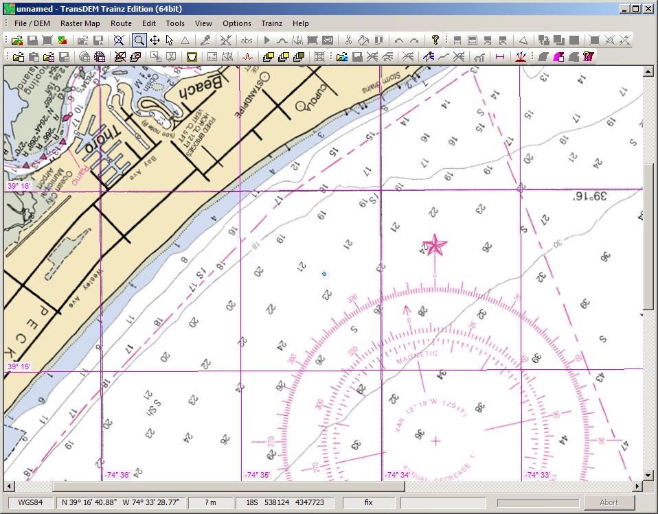
Has any work been done with Nautical Charts and TransDEM? Living in the US (New Jersey), I noticed today that the NOAA has a tile service at:
https://tileservice.charts.noaa.gov/
I wonder how big of a step is it to get the above as a tile service in TransDEM? I looked around the site, but didn't see anything obvious.
With the usual DEMs, most (if not all from what I've seen) elevations are 0 for water or some other predetermined constant elevation for big lakes inland. Is there any good sources of DEM for water depths? They may be referred to as bathymetric or hydrographic data I guess instead of DEM. I downloaded such a dataset for the Mariana Trench (Challenger Deep) many years ago and put in into TransDEM and made a Trainz route (not to put track or trains on it - just wanted to see it in 3D), but had lost it and the data over the years.
Thanks for any help provided.
Andrew