England Has Moved 50 deg. South
Posted: 19 Aug 2012 23:05
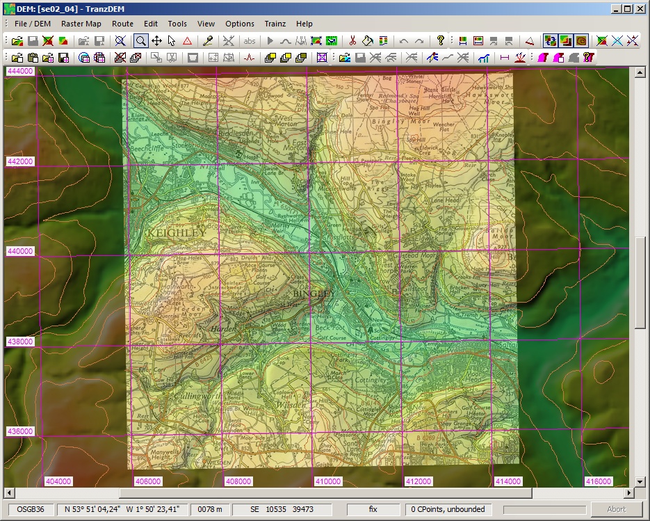
From Ordnance Survey downloaded, Land-Form PANORAMA, Data type: Vector (Contours), Grid (DTM), Supply format: DXF [Contours], ASCII grid [DTM], NTF [DTM], Version: 04/2010.
Processed DEM’s for Area SE, DTM, ASCII, *.asc files, through TranzDEM.
Results were fine until I started to add some raster georef maps to test area. Had problem so checked Northing, should have been about N53 but was found to be about N3.
Looks like England has slipped to just above the equator.
My exercise is a rerun, with latest data from OS, to allow a revised Yorkshire area rout to be created.
The existing rout I am working on was originally created with same DEM data a couple of years ago.
I have since building in Trainz12 added more and more track details for stations etc., but needed to extend a little.
My intention this time is to add overlays of all the station data to google data so that I do not have to worry about position and size of trackwork.
Anyone seen this before, or am I doing something wrong