Problem with georeferencing
Posted: 22 Feb 2012 18:28
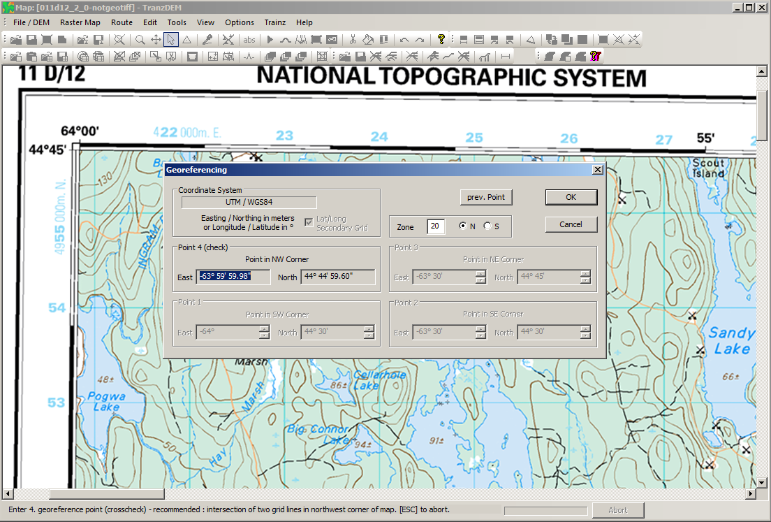
I've followed the instructions in the manual and in the tutorial here in the forum but I still can't seem to get the map georeferenced.
I have an image of a map from 1955, which I downloaded as a .pdf file from USGS, copied the image to the clipboard and then opened in TransDEM. However, whenever I try to enter the lat/lon (in this instance, SW corner is 31 deg 45 min/-106 deg 30 min), after entering the longitude, the latitude reverts to 0, no matter what I try.
I've tried this on two different computers, using XP and Win7, with the exact same result. I'm obviously not doing something correctly but I can't figure out exactly what. All the other program features work perfectly so I don't think it's the installation.
Anyone have an ideas or suggestions?
Thanks!