New spatial reference systems have appeared for Switzerland and Austria, applied to hi-res LIDAR data. For our purposes the only difference is a different value range, which, unfortunately, TransDEM does not understand yet. Mathematically, it's a simple translation. So, I have written a little tool for XYZ data that converts the new systems to the old ones, adding or subtracting offsets.
Download here:
https://transdem.de/download/public/mis ... -Setup.zip
The "user interface" is German only, but there are only three buttons and a drop-down list.
Ordner = Folder
Start = Start (Who would have guessed)
Abbrechen = Cancel
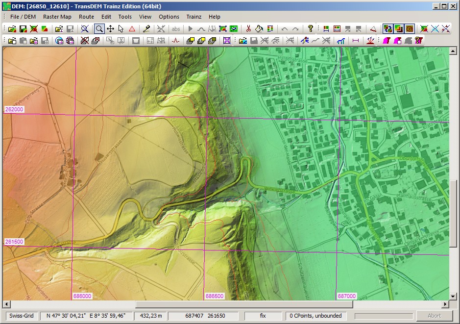
Example Canton Zurich (50 cm data, reduced to 1m), Ch1903+, converted to Ch1903:
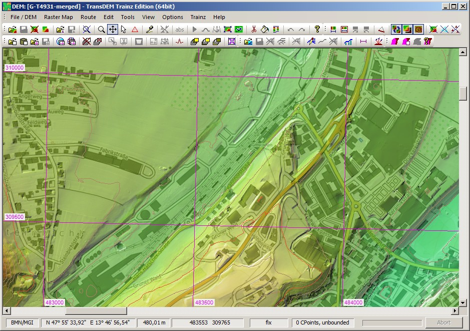
Example Upper Austria (50 cm data, reduced to 1m), MGI 31 without false easting, converted to MGI 31 with a false easting of 450.000: