LIDAR for free is spreading further and further. I was pointed to the Danish terrain model with 40cm resolution.
https://download.kortforsyningen.dk/con ... -04-m-grid
A word of caution: The webpage is Danish only and you need to register.
Data comes bundled in 10 x 10 km zip packages, about a formidable 1GB apiece. Unfortunately, the server is not the most reliable, downloads may abort or connection attempts fail altogether.
A package contains 1 x 1 km GeoTIFFs, UTM/ETRS89, Zone 32. One hundred files per package, if all are present. Rather surprisingly, TransDEM can read these files out-of-the-box. And with the latest version 2.6.3 you will save a lot of work when using the new multi-select option. Just mark all GeoTIFFs in the folder when opening and let TransDEM do the rest. However, after TransDEM has finished reading, you should change the DEM raster width to a more suitable value, like 5m for Trainz, to reduce the amount of data. Otherwise, subsequent processing would not be much fun.
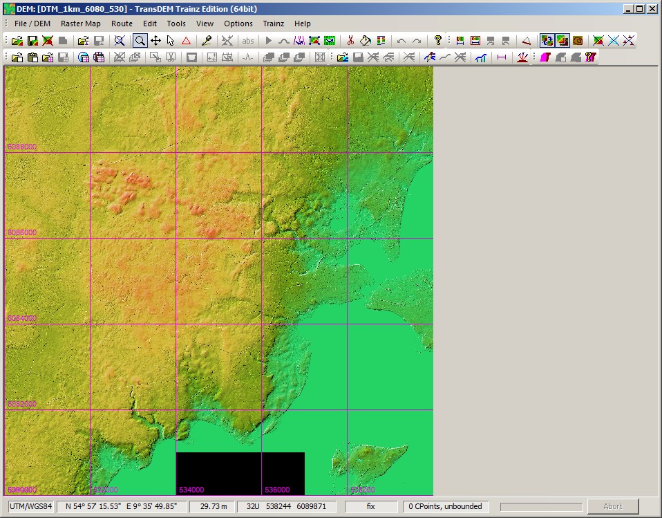
Here is an example, 10 x 10 km, Gråsten, a small place across the border from Flensburg, Germany. Two tiles are missing, because they would represent just water.
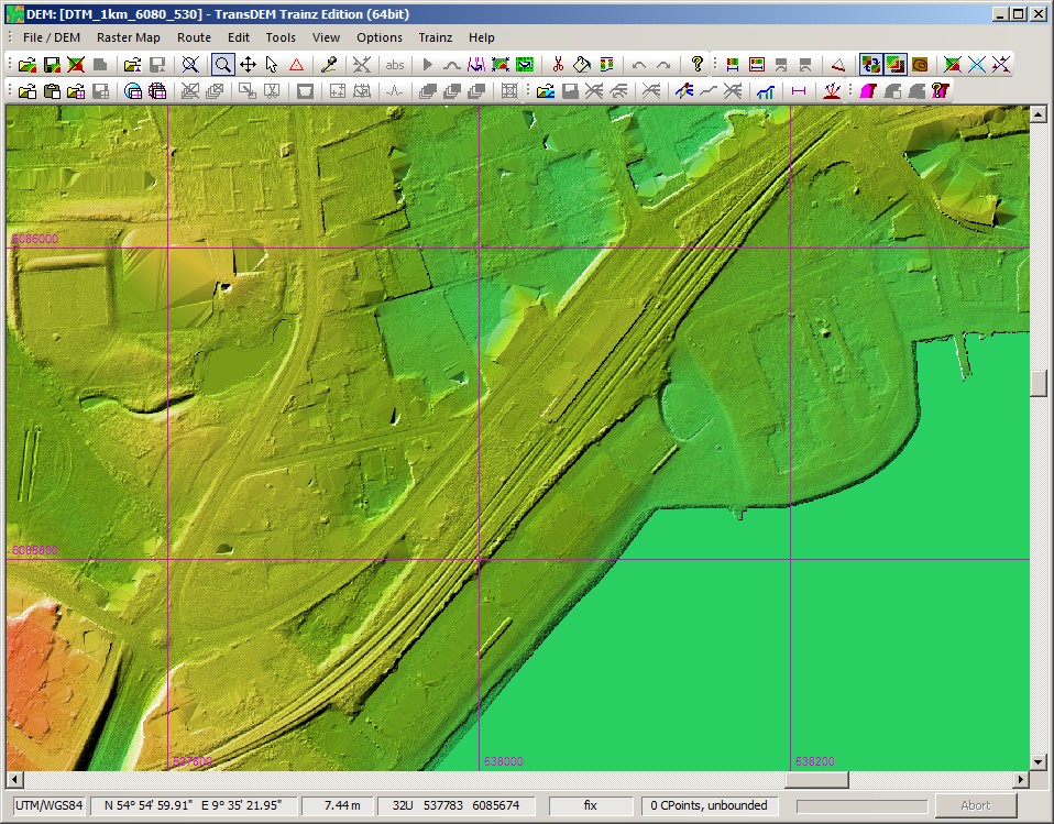
It becomes more interesting when zooming in. Let us follow the railway line which runs through a cutting here. At this high resolution we can even make out the drainage ditches. There is also some noticeable deviation from usual LIDAR processing here: The span of the overbridge has not been filtered out.
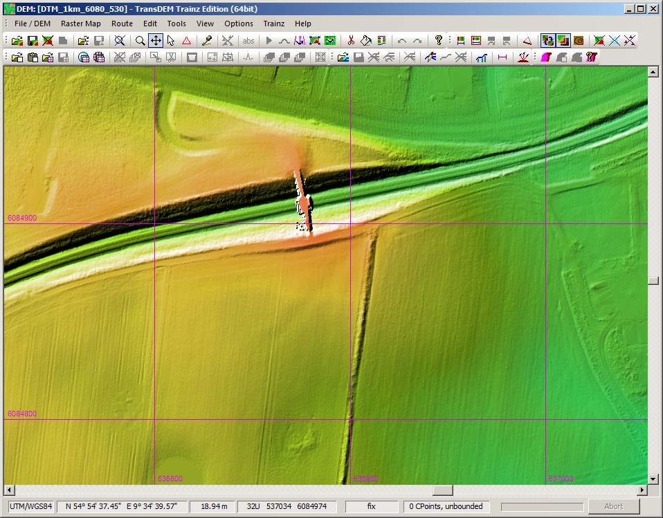
A little further on, we find a pronounced 10 m embankment:
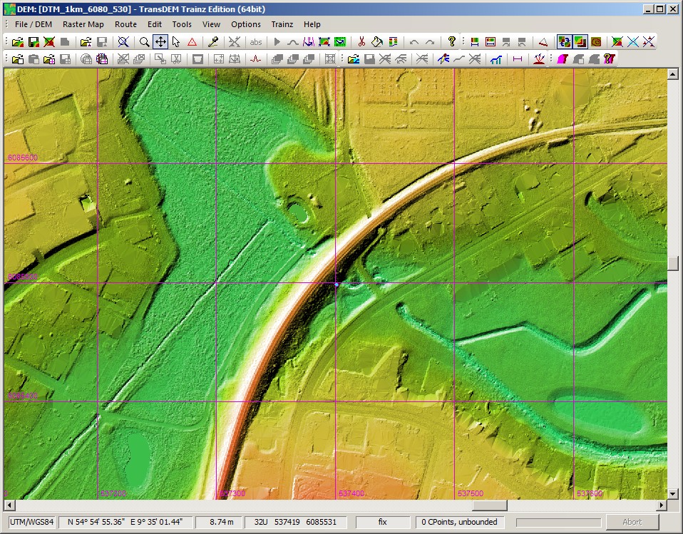
And finally, the little railway station of this place: