Aprinto wrote:
So this is why TRANSDEM could not open DEMNAS which based on EGM2008 (EPSG:8355 ???) as they said. TransDEM only give "error opening file".
The reason why TIFF for raster data is quite popular is its flexibility. Part of this flexibility is the meta data. You express many aspects with TIFF meta tags. GeoTIFF is an extension to TIFF, simply by defining a bunch of additional meta tags that make sense for geo data, most of them to allow and facilitate georeferencing.
There are a couple of GeoTIFF meta tags that you would normally expect and which don't have defaults. TransDEM aborted, because the most fundamental of them, GTModelType, is missing in the DEMNAS .tif. The model type is either "projected", "geographic" or "geocentric". (Luckily, I never came across "geocentric".) And all the other tags, that further refine the model, are also missing. The only GeoTIFF tags present are the "tie points" which define the coordinate origin of the data and the "spacing" which defines the size of a pixel in applicable geo coordinates.
So, I invented my own defaults to deal with DEMNAS. I hope this won't have any unwanted side effects.
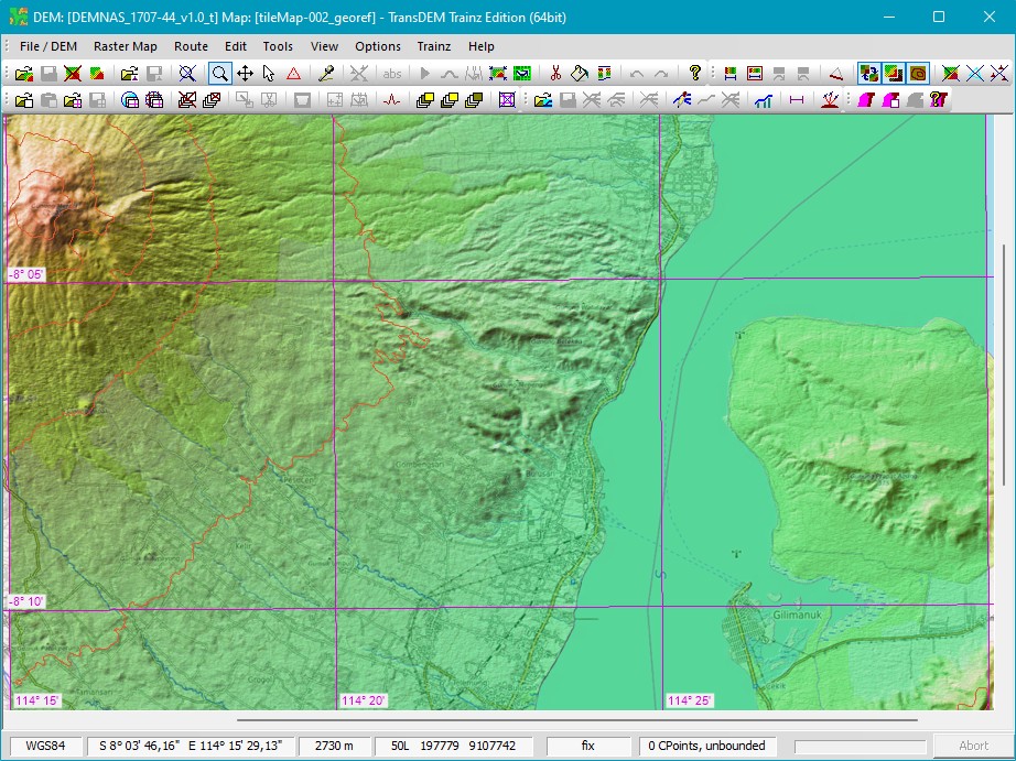
Interestingly, the Earth Gravitational Model (EGM) is not even represented in the standard set of GeoTIFF tags, presumably as it does not affect the model and the data. Nonetheless, I guess it plays an important role in geo data for Indonesia, as this is a very active tectonic region.
Aprinto wrote:
But in DEMNAS_1110-22, DEMNAS_1110-31 or DEMNAS_1109-54 (one of them), the sea level is -3.75m
Mine is the same. There must be a reason for this.
The simplest way to raise or lower the entire DEM in TransDEM is to place a single control point anywhere onto the DEM, set its mode to relative and set the adjustment value, then apply. We can't do centimetres, though.


