Open Topo MapA new Open Street Map rendering has been pointed out to me on the Zusi forum:
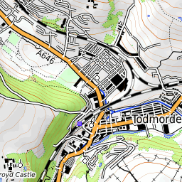
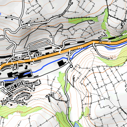
OpenTopoMap. It's a German university project and - be warned - their servers are rather slow. The idea is to render Open Street Map data like the classic hand-drawn topographic map, including contour lines and shading, and using the typical topographic map symbols. Contour lines and shading are based on SRTM data which means rather low resolution.
To add Open Topo Map to TransDEM, copy the following code to a text editor, save as a file, name it OpenTopoMap.xml or something similar, and import it into the TransDEM Map Tile Client.
Code:
<?xml version="1.0" encoding="iso-8859-1" ?>
<TileServer version="1.0" >
<Provider name="Open Topo Map" guid="4054889f-ba0c-4af6-8f9a-16eb74e9af3a" >
<URL guid="03d8b930-5364-4c3f-a5dc-1d67d06783be" addr="https://tile.opentopomap.org" standalone="1" type="1" postfix=".png" >
<Matrix prefixClm="/" prefixRow="/" minZoom="1" maxZoom="18" order="2" />
<Mercator origLat="90" origLon="-180" signLat="-1" signLon="1" projection="4" />
</URL>
</Provider>
</TileServer>
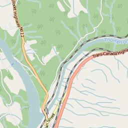
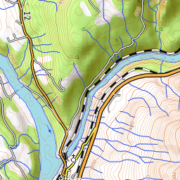
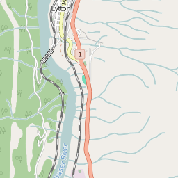
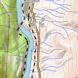
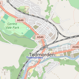
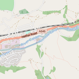
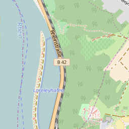
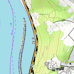
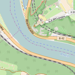
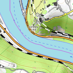
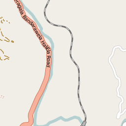
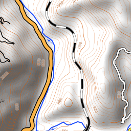
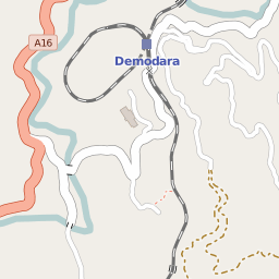
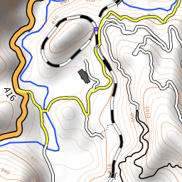
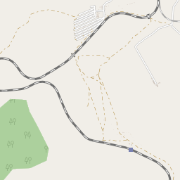
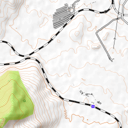
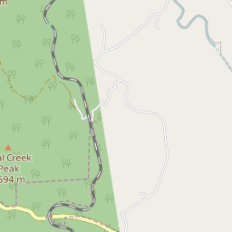
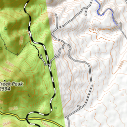
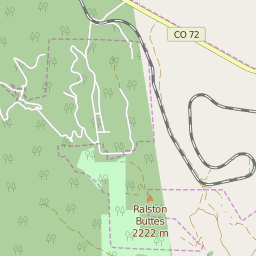
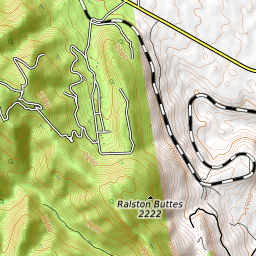
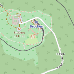
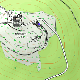
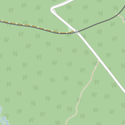
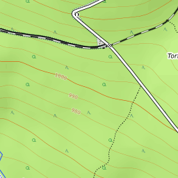
Here are a number of examples, in no particular order, comparing OSM standard rendering to Open Topo Map rendering:
Fraser River Canyon, British Columbia, Canada
Todmorden, West Yorkshire, England
Loreley Rock, River Rhine Gorge, Germany
Demadora Loop, Hill Country, Sri Lanka
Trans Mongolian Railway, near Ulan Bator
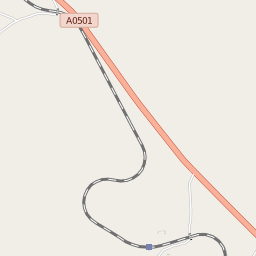
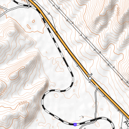
"Big 10" curve, near Denver, Colorado, USA
Brocken, Harz Mountains, Germany


