rwarren wrote:
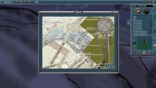
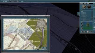
I still wonder how the picture on the first page of the TransDEM Trainz Edition manual was created. If this picture is real how was it created. Also, my Mini-Map looks nothing like the one pictured there.
As the others have indicated, it's a UTM tile, which makes up the foreground of the Trainz Surveyor screenshot. If you look closely, you will recognise its borders. If I remember correctly, this UTM tile carries the 1:10,000 Polish topographic map, acquired via WMS.
As a rule of thumb for ground textures, maximum scale for standard topographic maps is 1:50,000 for the Trainz 10m grid and 1:25,000 for the 5m grid.
For Britain a popular map source is the O/S 1:25,000 "Explorer" series. It is available online from different sources. The easiest way is via Bing maps. This source lack some sharpness, though. Streetmap.UK has the better quality, but georeferencing is a manual task. See this thread for details:
http://forum.transdem.de/viewtopic.php?f=8&t=5 O/S VectorMap District is another 1:25,000 option, but not as detailed, available the O/S OpenData site.