TransDEM Forum

TransDEM News, Support, Hints and Resources
It is currently 28 Apr 2024 11:05

All times are UTC + 1 hour


Post new topic Reply to topic  [ 17 posts ]  Go to page Previous  1, 2
Author Message
 Post subject: Re: Map Quality
PostPosted: 19 Jun 2011 01:54 
Offline

Joined: 10 Jun 2011 13:37
Posts: 12
geophil & T8DaGr8,

I really appreciate the comments that both of you made.

Please understand that I'm new to all this. I've only had Trainz a couple of weeks, although I've used MSTS for years and have several years expierence building routes. Everything is different here and I've still got a lot to learn.

I've read every manual that I could find on TransDem and Trainz. I tried all the tutorials several times. I read posts for several months back. And I'm still struggling. I can't seem to get the concept of it. I didn't realize until this week that there is more than one way to get all this information. It seems to get more and more confusing.

I'm pretty sure the map source I used was USGS-EROS with their Earth Explorer download. I have tried to get UTM tiles with no success, although I have a file with about 70 folders in it called: UTM-175-494-3842, UTM-175-495-3841, etc. When I click on one of these folders is shows me about 4 files, one of which is a .tga file. I click this and it opens in PhotoShop with one of the maps of a portion of my route. It is perfectly sharp and clear. This is what I would like to see after I export with TransDem. It seems it is not possible.

I finally deleted the whole route and decided this is not for me. The DEM was fine and I had all my track laid and the main switches working. When I started to put in the streets and roads, I had no idea where to place them because the map was so blurry. The only way I could see them was to zoom all the way out, then it wouldn't let me place a road object because I was too far out.

So I gave up and deleted everything. On top this I have not been able to convert my SketchUp buildings that I have in the MSTS route. I tried tutorials suggested there but they didn't work either. Most of the objects in Trainz are European, Austrailian or from countries other than the US, so they would not look right in my US route. So I have to make all my own objects.

I feel confident that I know enough to make a fictious route, but since I'm trying to replicate a real route, I don't know enough to do it.

Now, I find that my computer is not powerful enough to run Trainz12. I do have a copy of Trainz2006 that I have never used. I may give it a try.

Thanks again for the input,

I'll continue to read the forum, but I think I'll hold off building for a while until I can learn more.


Roy


Top
 Profile  
 
 Post subject: Re: Map Quality
PostPosted: 19 Jun 2011 04:28 
Offline

Joined: 30 Jan 2011 13:03
Posts: 170
G'day rwarren,

...despite your misgivings, TransDEM is without a doubt the best program there is for the purpose of creating terrain in Trainz (especially for those of a prototypical nature). Do not 'give up' on it...

...if you have followed the tutorials correctly, everything should be where it opu8ght to be and available in the game as it is intended. If this is not the case, then you haven't followed the tutorial correctly. You say...

Quote:
...I'm pretty sure the map source I used was USGS-EROS with their Earth Explorer download. I have tried to get UTM tiles with no success, although I have a file with about 70 folders in it called: UTM-175-494-3842, UTM-175-495-3841, etc. When I click on one of these folders is shows me about 4 files, one of which is a .tga file. I click this and it opens in PhotoShop with one of the maps of a portion of my route. It is perfectly sharp and clear. This is what I would like to see after I export with TransDem. It seems it is not possible....


...which indicates to me that you possibly haven't "committed" the UTM tiles that TransDEM appears to have correctly created (as per the tutorial), which means that Trainz doesn't know they exist (despite them taking up precious Disc space). For all of the routes that I create of US based railways, I use the former USGS Seamless Map server (now Microsoft Research Maps - MSR Maps), a 'link' to which is available for use in the TransDEM tutorials, which also explain how best to use them in the program. If you use these, as stated by geophil above with the 10 meter grid for the 1:500,000 scale maps (or with the 5 meter grid and the 1:24,00 scale maps p my personal preference), you can obtain results like this on your Trainz terrain...

Image

...which are perfectly 'adequate' for my purposes (and it seems, for most of those others who use 'my' thus created routes)...

...certainly, these results are nowhere near as 'good' as they could be (witnessed by the ability of UTM tiles to do that which they do so well), although I have never, I must admit, actually used a UTM tile to to display a topographic map (preferring to use them for their other function of displaying actual Orthophoto images)...

...I would suggest that you 'persevere', here. You will get that which you seek, eventually...

Jerker {:)}


Top
 Profile  
 
 Post subject: Re: Map Quality
PostPosted: 19 Jun 2011 13:22 
Offline

Joined: 10 Jun 2011 13:37
Posts: 12
Thanks Jerker,

If I could get a map like the one you show in your post, I would be more than please. I could work with this.

If I zoom in to the level you show, I get nothing but brown smudges here and there with no definition at all.

I agree that I must be missing something somewhere.

I'll try the tutorials again.

I had used the Muengsten tutorial, but the only problem with that is that it starts with pre-existing DEM, Georef.trf, str, and lgb files. I think my problem is gathering information for these files.

Any suggestion as to what tutorials to use for this information would be appreciated.

Thanks Jerker,

Roy


Top
 Profile  
 
 Post subject: Re: Map Quality
PostPosted: 19 Jun 2011 18:15 
Offline

Joined: 05 Jan 2011 16:45
Posts: 1465
rwarren wrote:
And I'm still struggling. I can't seem to get the concept of it.
For the maps, there are two different approaches: Small to medium scale maps can be used for the ground texture. Large scale maps, track plans and aerial images can only used with UTM tiles. This is due to technical restrictions with the concept of ground textures in TransDEM.

As Jerker has pointed out, the USGS topo maps in 1:24,000 scale should be the first choice in combination with the Trainz 5m terrain grid (TS2009 and above). They represent the maximum legible scale for ground textures. Arguably, the easiest to use source for these maps is the WMS portal operated by Microsoft: MS Research Maps. Jerker has already named it. There is indeed a tutorial on this source, look for "Durango & Silverton" in the main manual, from page 113.

A map scale too large ( > 1:24,000) will cause too much blur, due to the limited resolution of ground textures rendering the map. A map scale too small (< 1:100,000) will also cause blur, this time because of the limited resolution of the original map and the limited viewing distance in Trainz Surveyor. Therefore, a suitable map scale is of essential importance.

rwarren wrote:
I had used the Muengsten tutorial, but the only problem with that is that it starts with pre-existing DEM, Georef.trf, str, and lgb files. I think my problem is gathering information for these files.
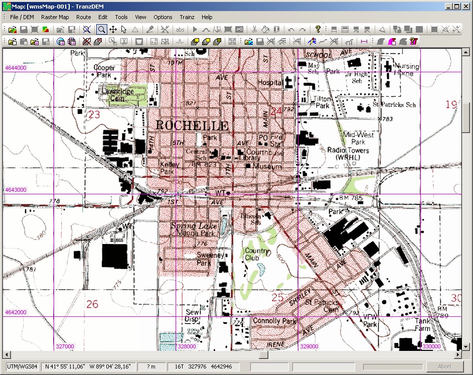
Did your result of the Muengsten tutorial in Trainz Surveyor look similar to the picture in the manual?

rwarren wrote:
although I have a file with about 70 folders in it called: UTM-175-494-3842, UTM-175-495-3841, etc. When I click on one of these folders is shows me about 4 files, one of which is a .tga file. I click this and it opens in PhotoShop with one of the maps of a portion of my route. It is perfectly sharp and clear.

This means, TransDEM has created UTM tiles for you.

For the UTM tiles to work they need to be imported into Trainz just like the route itself.

Each UTM tile is a separate Trainz object with its own KUID, automatically created by TransDEM. TransDEM places each object onto the route, at the exact location. To accomplish this, TransDEM modifies the route .obs file. For each UTM tile TransDEM creates an reference entry in the .obs file, with the individual KUID of the tile object and its horizontal and vertical position where it should appear.

Now, did you import the the UTM tiles into Trainz (everything in the scenery folder)? If yes and the tiles do not show, did you let TransDEM create the UTM tiles in the same session as for the DEM-based terrain? Or did you import the route into Trainz before adding UTM tiles in TransDEM? In the latter case you have two versions of the route, the older one inside the Trainz data base without the UTM tiles and a newer one with the UTM tiles in the "edit" folder. This can be solved.

Note that using UTM tiles for smaller scale maps doesn't add much clarity and brings no benefit.


Top
 Profile  
 
 Post subject: Re: Map Quality
PostPosted: 20 Jun 2011 22:04 
Offline

Joined: 10 Jun 2011 13:37
Posts: 12
To answer a few of your suggestions.

I used 1:24000 scale.
My map for the Muengsten tutorial was exactly like the picture, except I didn't have the area shown on page 54 with all the black detail. Used Wireframe, still nothing.

I committed all the UTM tiles to Trainz. The "commit" was greyed out in the Edit menu, but a suggestion I read somewhere said to open Trainz and they would commit. I did and they all committed. Map looked great in TransDem when zoomed way out, but blurry when I zoomed in. My DEM looked just like the picture at the bottom of page 53.

Is there a way to use Google Earth images or BingMaps or others in TransDem?

In the section Video Tutorials on this site, in the tutorial No. 6 that you created, at the end of this video you show an image that you call map tiles.

I'm thinking that this is what I'm looking for.

Roy


Top
 Profile  
 
 Post subject: Re: Map Quality
PostPosted: 20 Jun 2011 22:10 
Offline

Joined: 10 Jun 2011 13:37
Posts: 12
I just answered my own question.

Tutorial 4 tells me now to get map tiles.

Let me try that.

Still learning,

Roy


Top
 Profile  
 
 Post subject: Re: Map Quality
PostPosted: 21 Jun 2011 08:37 
Offline

Joined: 05 Jan 2011 16:45
Posts: 1465
As I see it we are talking about two related but slightly different topics. One is about the sharpness of the ground textures and the other is about the integration of UTM tiles.

Sharpness:
rwarren wrote:
My DEM looked just like the picture at the bottom of page 53.
Could you post a screenshot of the TransDEM window with your 1:24,000 map loaded and the UTM coordinate grid shown (which is on by default)? This would make it easier to assess the results. Here is an example:
Image


UTM tiles: Did you add the UTM tiles to your route before importing the route into Trainz?


rwarren wrote:
Is there a way to use Google Earth images or BingMaps or others in TransDem?
As you already found out: yes, there is. Remember, due to the required large scale for orthoimagery to be useful, all aerial photos have to be processed as UTM tiles.


Top
 Profile  
 
Display posts from previous:  Sort by  
Post new topic Reply to topic  [ 17 posts ]  Go to page Previous  1, 2

All times are UTC + 1 hour


Who is online

Users browsing this forum: No registered users and 31 guests


You cannot post new topics in this forum
You cannot reply to topics in this forum
You cannot edit your posts in this forum
You cannot delete your posts in this forum

Search for:
Jump to:  

Imprint & Privacy

Powered by phpBB® Forum Software © phpBB Group