I have no idea what you mean re regular mask. But this is what it looks like:

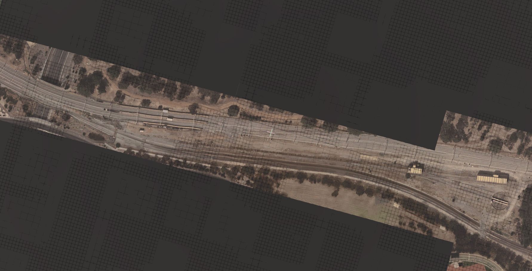
I am looking to get at least 5kms of UTMs with zoom level at about 19 or 20, for the area from Adelaide yard to somewhere near Goodwood to start with.
I need them as high definition as possible, whilst encompassing a catchment area that is at least about 2kms wide from left to right (assuming the track is dead centre). Been struggling with it for months. Now that I've switched to TRS22, the tiles are less out of wack, and more consistent. I haven't adjusted any KUID settings since the change.
Is it possible to achieve a very close zoom level, whilst having the UTMs at at least 1-2kms wide?
I have read the manual several times. I am perplexed as to how 'overlap' interacts with max rel point dist. I did look it up. But it was tricky for me to interpret. I have G 0gle Maps (key) enabled, orthopohto, width height 512 pixels, zoom level at 19, with zoom max (bar to the immediate left) at 10, overlap at 25, max rel point dist at 50.
I am under the impression that the closer one is zoomed in, the narrower the UTMS get. Is this the reality? If so, it makes it impractical to model this route for me. Because I am very dependent on aerial imagery.