Belgian46 wrote:
As I didn't knew that the kusttramroute was in the shp-file, I already had made a creation of the Kusttramroute (Depanne to Knokke ) via Google Earth. However, I have to review this file, because I only used points and no lines.
There seem to be a few missing links in the network. Result of editing?
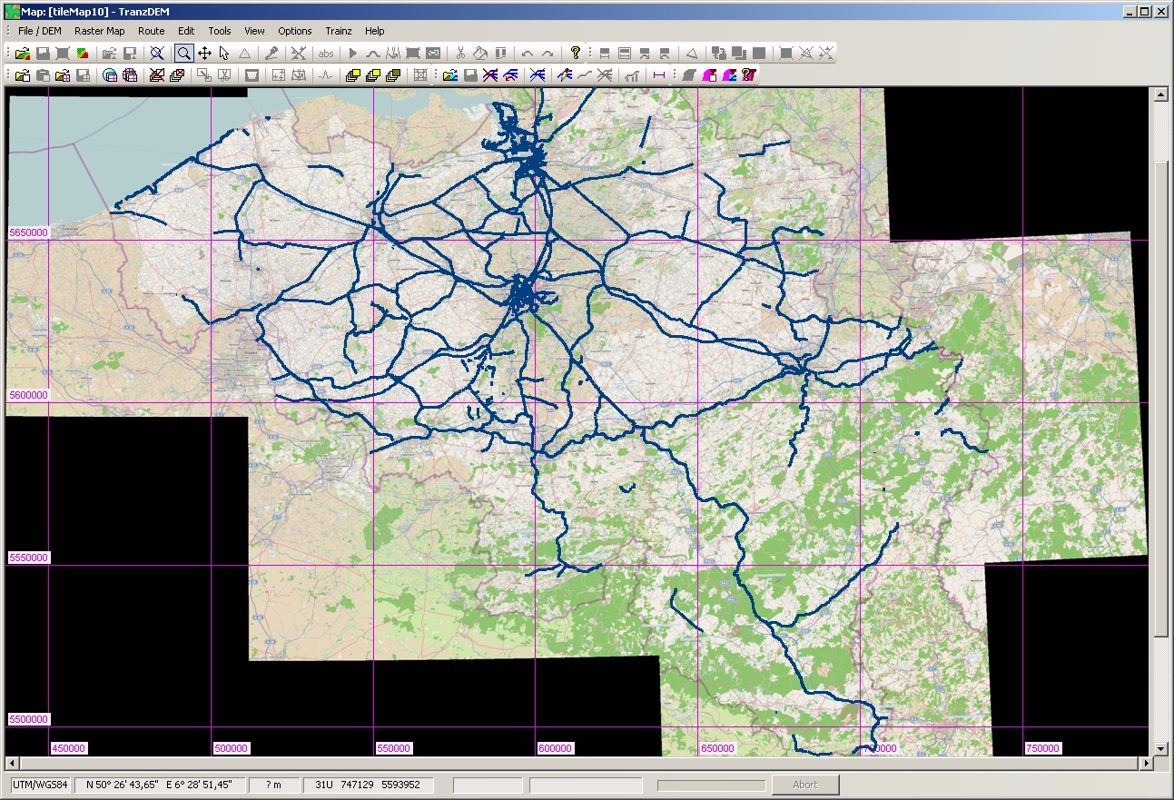
This is what I get, drawn on top of the OSM map at zoom level 10:

Quote:
I also had contact with NGI ( National Geographic institute - Brussel ). The NGI can deliver ( price unknown ) a digital card of Belgium ( in non-compressed tiff format ). With the tiff-file there is also a tfw-file, which allows georeference of the tiff-file. I probably will need to visit the NGI, to have a better picture of the situation (

)and also to have a look if other possibilities are available.
Do they offer GeoTIFF? tfw, a TIFF world file, is a non-standardised approach of adding georeferencing information to a TIFF raster map. GeoTIFF would be the standardised form.
Quote:
Wth Gimp ( open source ) I tried merging a national map of Belgium and the complete Belgian railroad. ( pictures in PNG-format non-geographically placed ). No success up to now.
Don't try that. You are attempting to approximate geo coordinate transformations with 2D imaging transformations. This will only work for very small areas. For larger areas you will introduce a lot of distortion.
Quote:
I will also try to import the belgian railroad picture into Google earth. Also not quite easy to do, if you are non-experienced user.
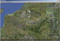
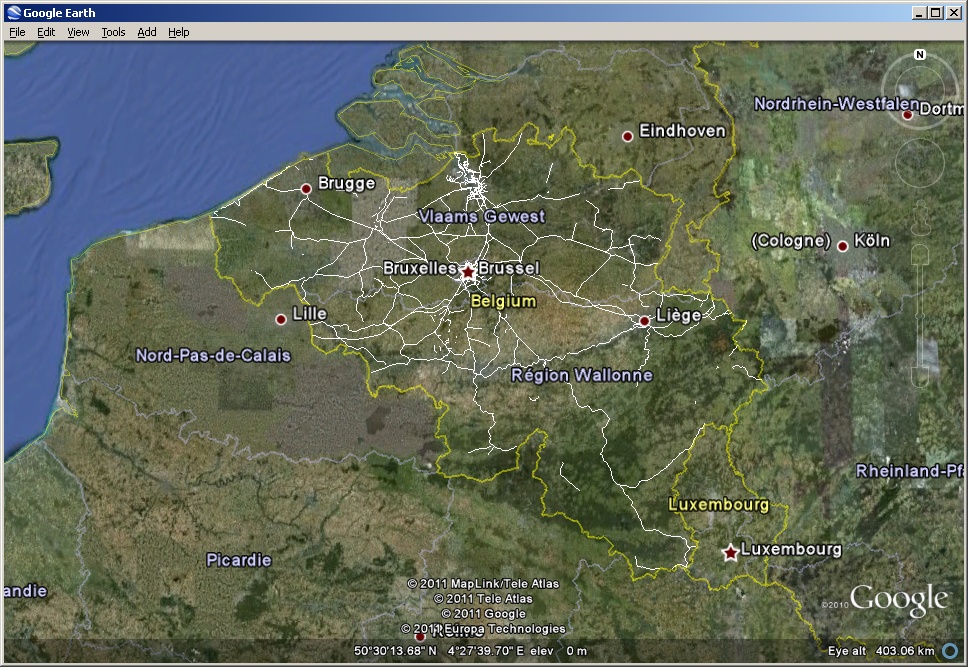
Easy. Export your shp file from TransDEM in kml format and open in Google Earth. You will get something like this: