I am trying to render the terrain above 60°N.
I would like to be able to load tiles from OSM Thunderforest Outfoors, which have isolines with numbers indicating the height of the terrain.
This requires an API key.

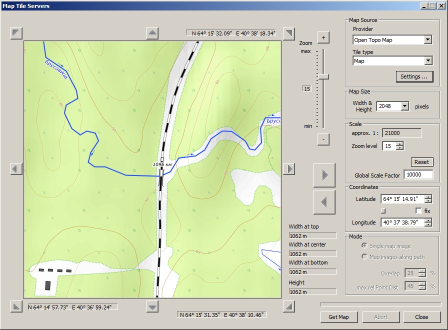
For example, the screenshot above is from SAS.Planet, which also uses its own API key.
I tried to add a description of the server based on the OSM records, since apparently their settings are similar, except that OSM does not require an API, but OSM Thunderforest does. The watermark appears only in the preview window and in the loaded tile.
Code:
<URL name="Thunderforest" guid="5f635350-8f50-408e-b422-857ffc03c633" addr="https://tile.thunderforest.com" prefix="outdoors/" standalone="1" type="6" postfix=".png" >
<Matrix order="2" prefixClm="/" prefixRow="/" minZoom="1" maxZoom="18" />
<Mercator origLat="90" origLon="-180" signLat="-1" signLon="1" projection="4" />
</URL>

I tried adding the API key information as well (and API Key value in the file
WebTileMapServerKeys.xml of course), but in this case nothing loads, just a black screen in the preview window.
Code:
<URL name="Thunder" guid="5f635350-8f50-408e-b422-857ffc03c633" addr="https://tile.thunderforest.com" prefix="outdoors/" standalone="1" type="6" postfix=".png" apikey="1">
<Matrix order="2" prefixClm="/" prefixRow="/" minZoom="1" maxZoom="18" />
<ApiKey prefixKey="?apikey=" />
<Mercator origLat="90" origLon="-180" signLat="-1" signLon="1" projection="4" />
</URL>
Maybe you can just show me which record I need to enter for API Key in xml-file? It seems to me that this task should be quite trivial?