Fixed with TransDEM 2.6.5.1: viewtopic.php?p=3147#p3147
| TransDEM Forum https://forum.transdem.de/ |
|
| Irish DEM data https://forum.transdem.de/viewtopic.php?f=7&t=620 |
Page 1 of 1 |
| Author: | PFX72 [ 06 Dec 2021 17:46 ] |
| Post subject: | Irish DEM data |
Hello, I've searched both here and on the N3V forum for information relating to Irish DEM data. I did used to have this but unfortunately cannot locate it now. I can access map data no problem and can create the map tiles using the route editor tool, but I can't find the elevation data to combine it with. This site https://dcenr.maps.arcgis.com/apps/webappviewer/index.html?id=b7c4b0e763964070ad69bf8c1572c9f5 has almost complete LiDAR data for the area I want to cover, but I'm not sure which source, if any, is compatible with TransDEM. That would also leave me requiring less detailed DEM data for the section not covered on that site. If you can help point me in the right direction of any relevant data, I've be very grateful. Thanks, Innis |
|
| Author: | geophil [ 09 Dec 2021 10:31 ] |
| Post subject: | Re: Irish DEM data |
You would be looking for tiles named "DTM" for "Digital Terrain Model". But it seems TransDEM can't read the files. The ones I tested are GeoTIFF, but unfortunately with some custom tag value, which TransDEM does not have in its list. A similar thing occurs with new Polish LiDAR data. They always invent new forms of customization, it's hard to keep track. I guess I will have to look at it, presumably over Christmas. |
|
| Author: | PFX72 [ 09 Dec 2021 17:59 ] |
| Post subject: | Re: Irish DEM data |
No problem. Thanks for your information. Innis |
|
| Author: | geophil [ 12 Dec 2021 17:46 ] |
| Post subject: | Re: Irish DEM data |
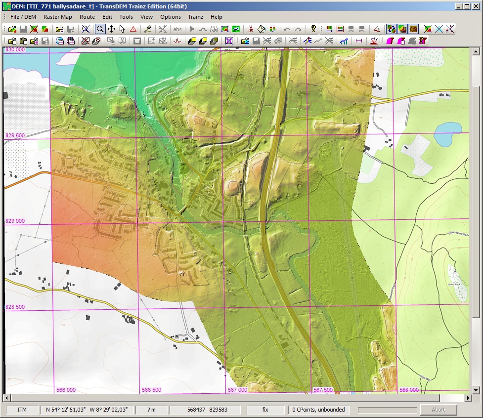
I've had a look at one of the DTM GeoTIFFs downloaded from the server today, 2m data for Carrick-on-Shannon (where I have been to many, many years ago, on a river cruise with an Emerald Star hire boat). The data is in the Irish Transverse Mercator grid. Unfortunately, the GeoTIFF tags don't say that. Instead, they give the full parameter set for the grid. The TransDEM GeoTIFF DEM reader until now cannot handle such explicit specifications. However, I had created a generic Transverse Mercator projection and used that elsewhere in the past. Here now I need to read the projection parameters from the GeoTIFF file and pass them to the generic Transverse Mercator projection, via several intermediate steps. But I'm pretty optimistic this will work. |
|
| Author: | geophil [ 23 Dec 2021 14:11 ] |
| Post subject: | Re: Irish DEM data |
Fixed with TransDEM 2.6.5.1: viewtopic.php?p=3147#p3147
|
|
| Page 1 of 1 | All times are UTC + 1 hour |
| Powered by phpBB® Forum Software © phpBB Group http://www.phpbb.com/ |
|