Nictrain123 wrote:
but I can't find the "emphasize contour lines" option in TransDEM and the "Create control points" button is unclickable.
You will have to create a new flat DEM first. I would go for the defaults, 50 m grid and elevation 0 = sea level.
The button is called "Highlight contour lines", not "Emphasized", sorry.
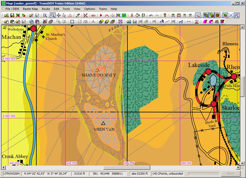
Your first contour line should be the coastline. It does not have to be fully detailed at this stage. But it is important for the triangulation algorithm, not to alter anything outside the coastline.
I had a closer look myself. The grid raster is more like 8km, not 7.5. I picked Ramsey Bay as my reference point at 410,500 E, 6022,500 N, UTM Zone 30 North. With these settings the map sort of fits between the Isle of Man and the mainland.
Roughly sketched coastline:
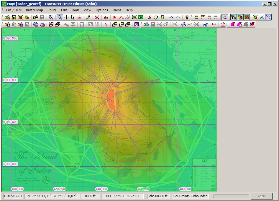
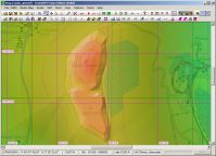
Contour lines at 1600 and 2000 ft plus a few fill-ins (Control points hidden, DEM hidden):
Generated DEM from these control points (DEM interpolation on, DEM shading on, 100% intensity, 20% transparency, DEM contour lines on, triangles hidden, control points hidden):
Quote:
How would I be able to activate it once I've opened the georeferenced Sodor map I saved?
There is nothing specific here. You save your generated DEM and then export it to Trainz together with your map like any real-world geo data.