Jack Drake wrote:
I commenced construction of this route with TRS2004 and have modified and added to it since then.
Which version of Trainz are you using at the moment?
Theoretically, TransDEM can add UTM tiles to an existing route, but the Trainz version has to be T:ANE SP1 or lower. And the procedure is:
- Use Trainz Content Manager on the existing route and "open for editing".
- In TransDEM, identify the exported route (can be a bit tricky if the original route generated by TransDEM is still in the same folder).
- In TransDEM, export the new UTM tiles to the exported route.
- In Trainz Content Manager, add the newly created UTM tiles.
- In Trainz Content Manager , commit the changes in route that had been opened for editing.
However, if your Trainz version is T:ANE SP2 or higher, this does not work. With SP2, Trainz has changed route file formats and TransDEM cannot yet read the new structures. But reading is required as TransDEM would modify the route and then rewrite it with the anchor points for the new UTM tiles.
Jack Drake wrote:
Procedure I carried out as below
- opened the new DEM
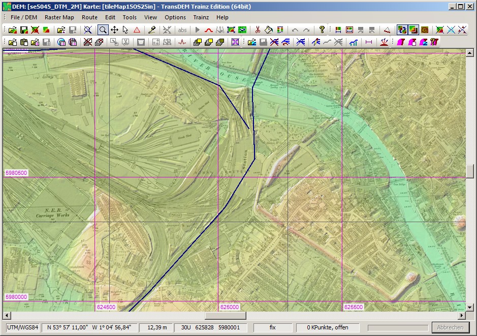
- opened the 25k map for ground textures.
- Both the DEM and 25k map for ground textures disappeared.
For a quick recap you might want to do the "Muengsten" tutorial again, from the TransDEM Trainz manual, with all its steps, as it illustrates the export procedure in all detail. And that's the better explanation than any instructions I'd write here.
The data sources in use have little to do with the problem your encounter, so the following remarks are just hints.
Jack Drake wrote:
My install does not appear to have OS 1:25000 map (via Bing maps).
The OS top maps 1:50k and 1:25k are available with Bing map tiles, but only if you register an API key. Those are not really needed here, any suitable one like Open Street Map will do for ground texturing.
Jack Drake wrote:
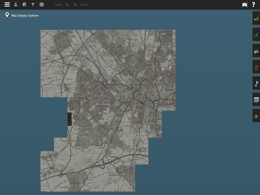
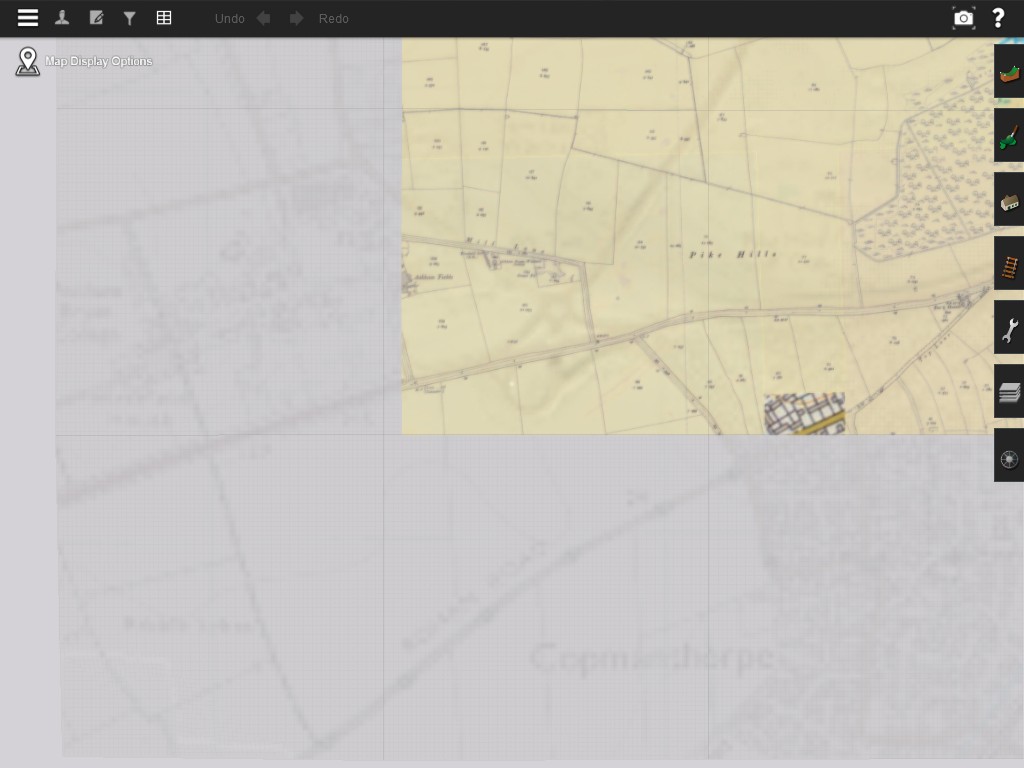
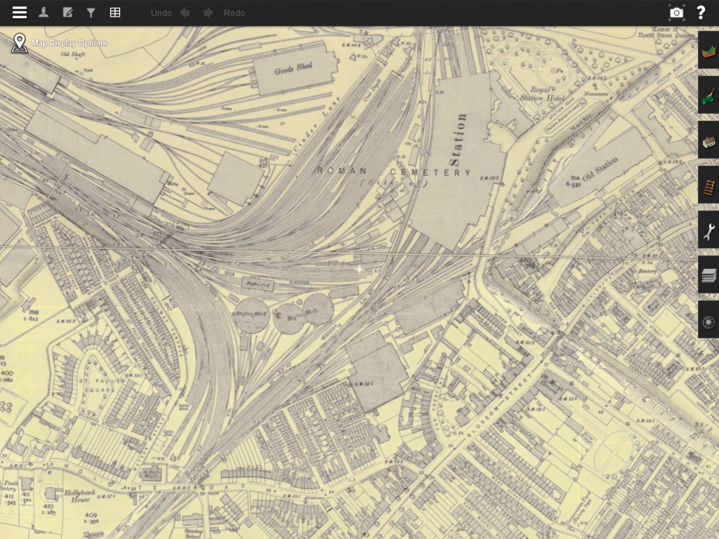
I use Historic UK25inch
Some of the "Yorkshire" tiles are missing on the server but you may find them in "England Holes".
Jack Drake wrote:
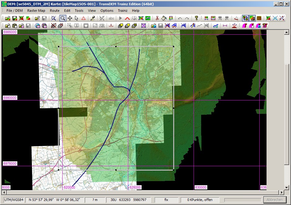
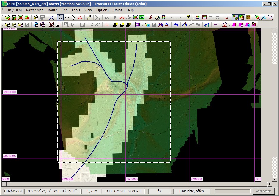
Not use Lidar before so downloaded SE55SE. Open and saved which created a file se5550_DSM_2M_t
LIDAR has limited coverage. You may need to fill in the gaps with classic 50m data. There is a specific function in TransDEM "Fill up DEM" for this.
With these hi-res LIDAR DEMs you have two variants: DSM and DTM. "Digital Surface Model" and "Digital Terrain Model". The DSM would include buildings and other structures, maybe even forestry, like the good old SRTM satellite data. I would normally go for the DTM. That still includes earthworks, like cuttings and embankments, river/reservoir dams and bridge abutments, but no buildings.