brucemarshall56 wrote:
After I unzip the file there are quite a few files, which one should I be using?
Any of the adf files will do. The DEM data consists of the entire directory. TransDEM take care of all the files needed. It's a new format for TransDEM, see step 9 here:
viewtopic.php?p=1172#p1172.
Do the DEM and the georef raster maps load separately? Without the other type? Do you have the same coordinates in both?
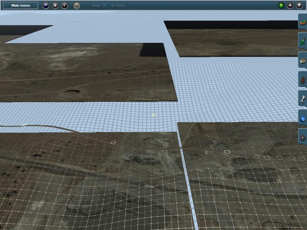
Check the settings. Main menu: Options | Settings | DEM Display Parameters | DEM Transparency:
"Show transparent must" be checked
The Percentage value must be > 0 and < 100, usually between 20 and 60.
0% means opaque. Raster maps will be hidden behind DEM.
100% means invisible. DEM will not be shown.
brucemarshall56 wrote:
I loaded the DEM for the area and it loads with a blank Raster Map from what I can see.
The "Open DEM" function cannot load anything other but DEMs.
brucemarshall56 wrote:
The Muengsten tutorial says on page 45 of the manual that we open DEM, Georefenced Raster Map then the Vector Route is that the order they have to be in or does it matter?????
Vectors always have to come last because they need a georef. ratser map or a DEM. DEM and georef. Raster maps can be loaded in any order. The DEM will always be shown in front of georef raster maps, but is semi-transparent by default, see above.