brucemarshall56 wrote:
Geophil,
I will try the things you mentioned above. You're point on the DEM's being to small, that is what I got from the National Map Viewer!
Until last week you defined your download area by map extent. I guess you zoomed in a bit too far, to get such a small area. However, from now on, National Map Viewer will always offer you entire 1 x 1 degree chunks, so small DEMs will no longer happen.
Quote:
Should I be looking elsewhere??
No, the National Map Viewer is still quite right.
Quote:
I am going to try to use the USGS 1:24 topo map sometime today.
Even if is does not show the track of the recently rebuilt section, it is still a better ground texture then aerial images. The only map that shows the rebuilt part of the line seems to be Google (Map Tiles).
Quote:
Another question I have is: I have take Google Earth Images from 5.0 km. Now I have to go back and get new DEM's? And a new vector route using the Google Earth Images from 5.0 km?
DEMs, maps, aerial images and vector route are all completely independent of each other. That's the big advantage of georeferenced data. Since each bit of geo data carries its position and scale, it can be combined in an arbitrary manner. So you you only need to update/replace the parts that are not yet good enough.
Quote:
When I exported to Trainz I used the steps starting on page 45, Tutorial 1, Part 1 all the way thru to Part 5,
In the TransDEM Trainz manual. Yes, that's the right one to begin with. For dealing with Map Tiles and WMS, refer to the the tutorials 4 and 7 in the TransDEM
main manual.
Quote:
Today I went into my route I had already exported into trainz and have no idea how to get the google images to be on the baseboard, the images are floating in the air. I tried to adjust the height by using the Adjust Height tab in trainz, then finding the corresponding UTM, nothing happened.
Select the "Adjust Height" tool in Trainz Surveyor, position the cursor above a UTM tile, press left mouse button and drag. This should raise or lower the tile.
(In mountainous terrain it may be helpful to create 500 m tiles instead of the default 1000m tiles, because the smaller ones may be easier to handle.)
Quote:
Also today, I did try another DEM from the The National Map Viewer with the updated information you mentioned in your last reply. It
looks like I would have to recreate new images & vector data with the higher eye altitude, because when I went to export the program said there were errors in the old files and would not be included.
The National Map Viewer should offer you a single NED DEM product, 1 or 1/3 arc sec (n40w120). This one file should cover the entire V&T.
Which tool reports errors?
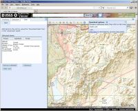
I played around myself with this area today. Here is what I get.
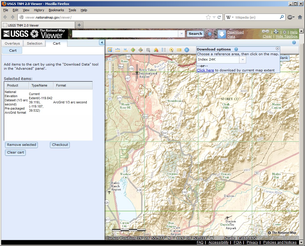
Obtain the DEM:
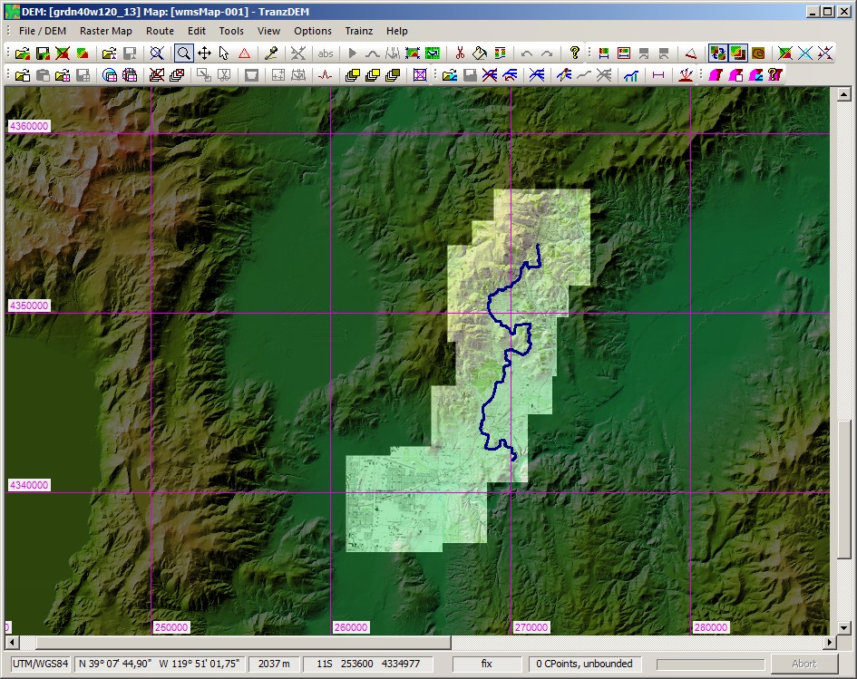
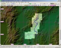
DEM + WMS topo maps. Route traced from Google Maps (Map Tiles)
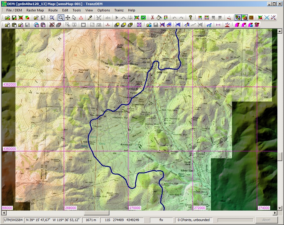
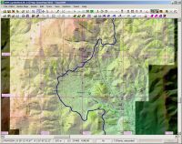
Zoomed-in to Gold Hill:
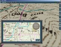
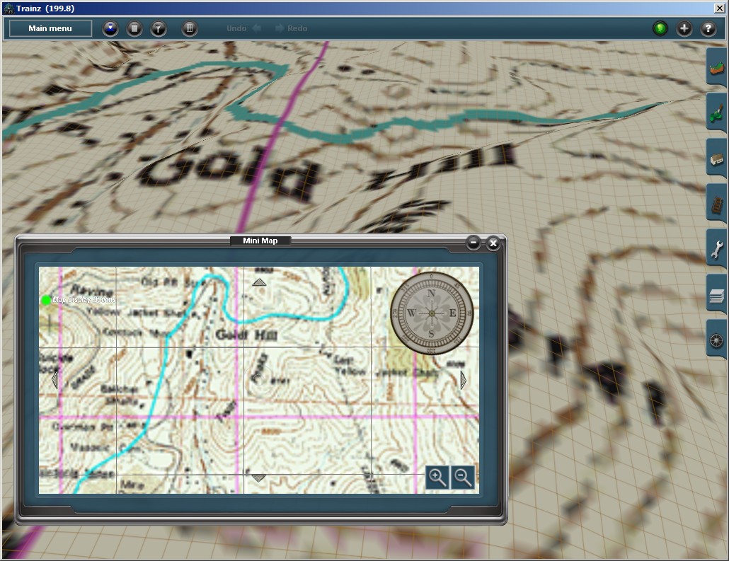
Exported to Trainz, Gold Hill with mini-map: