Yes, it's all in the manual, including a step-by-step tutorial, but for those who never read manuals or haven't practised for a while, here is an illustrated recap.
The objective in this example is to view a particular spot in England on historic Ordnance Survey topographic maps. The spot is called
Caen Hill industrial heritage, not
railways in this case, but
canals.
I assume that you have imported the Map Tile sample settings, including the
latest addition made yesterday for the pre WW I
six inch map.
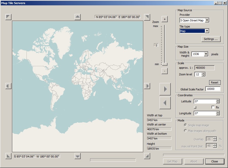
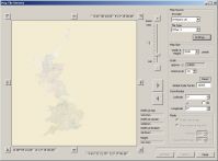
The historic UK maps only cover
Britain, and no fillers or placeholders exist for the rest of the world. That means we cannot start with zoom level 0. For instance, the lowest zoom level for the
six inch map is 5. And not really usable at this scale.
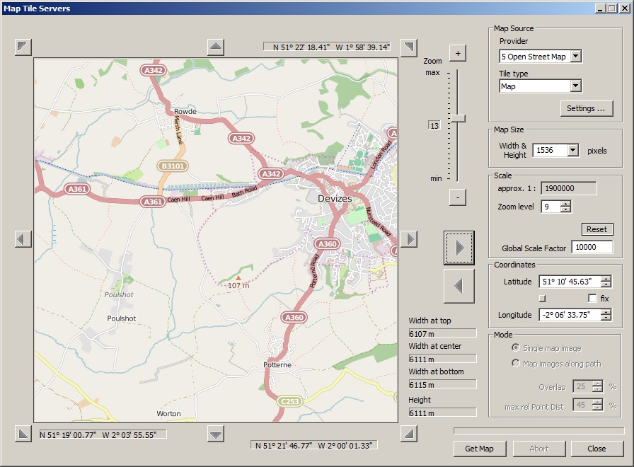
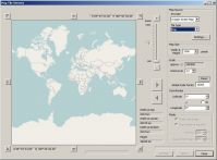
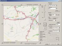
Therefore we start with ordinary
Open Street Map and its regular map which we select in the upper right Map Source group.
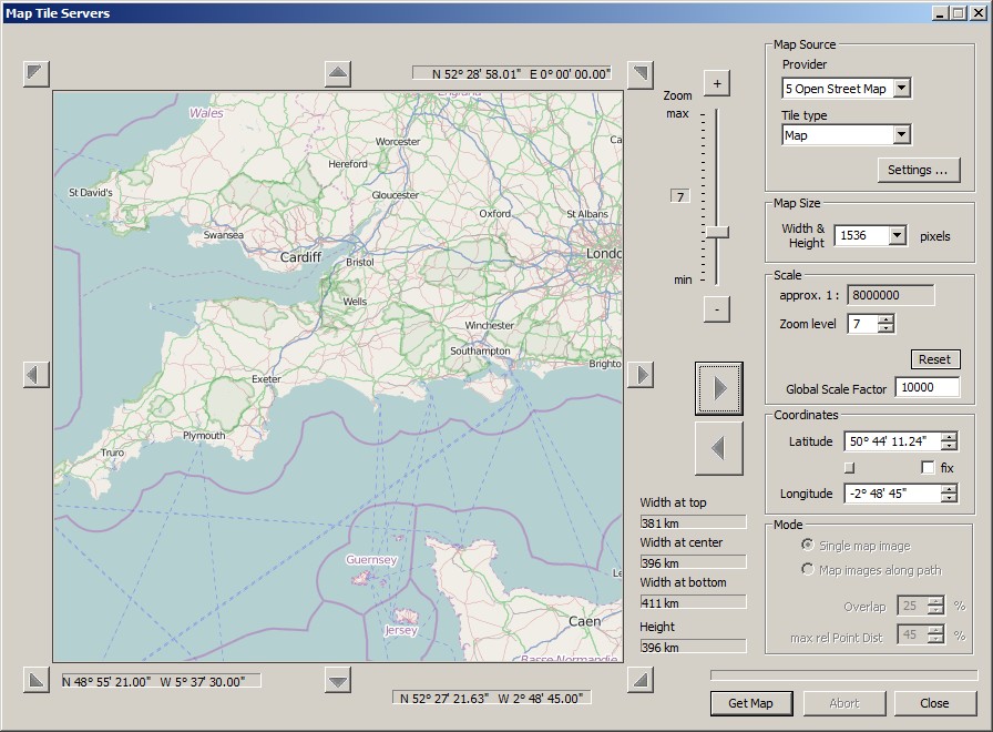
Caen Hill is in
Devizes,
Wiltshire. With a number of left mouse clicks in the preview window we get closer.
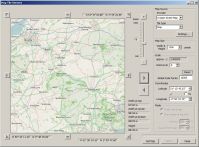
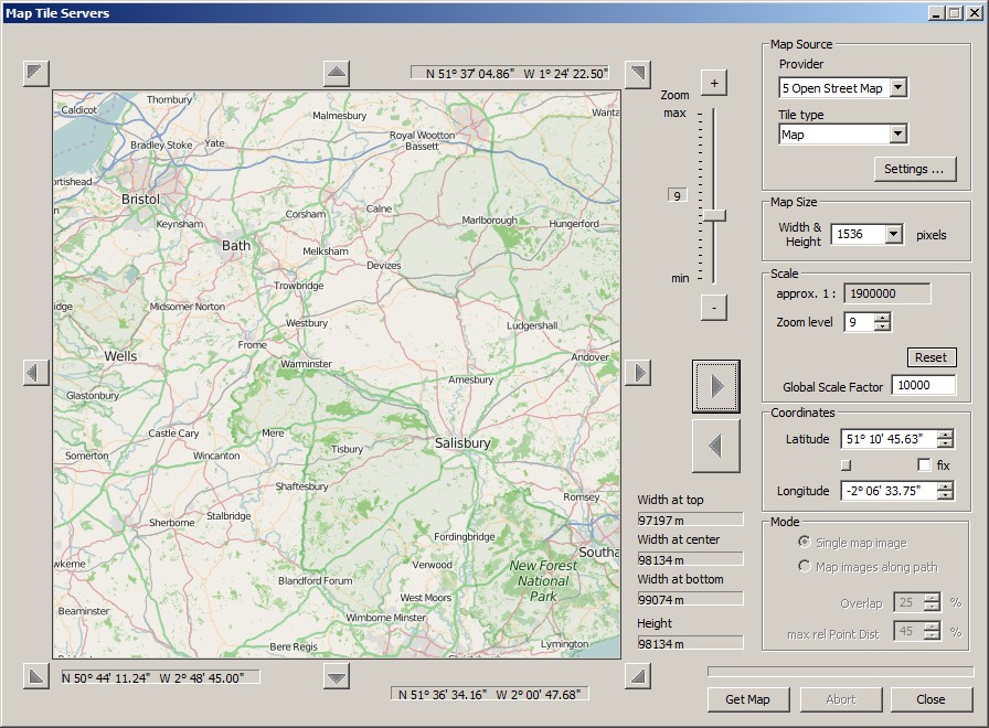
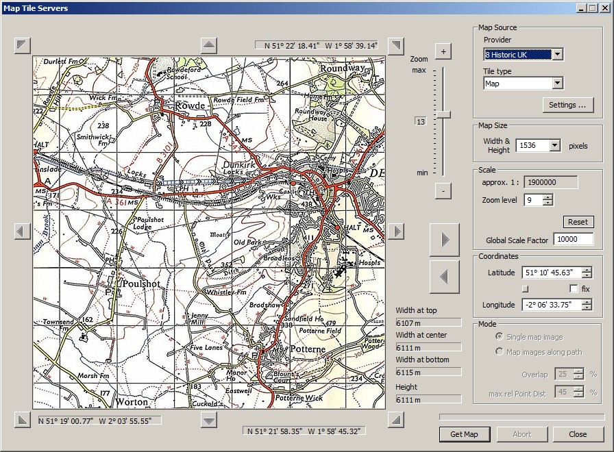
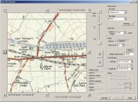
We are now at zoom level 13 and should be able to switch to "Historic UK". We start the regular map which will lead to one of the one inch = 1:63000 series of the 1940s and 50s.
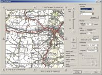
Same scale, different series
Historic UK /
Other 2 (1:63000)
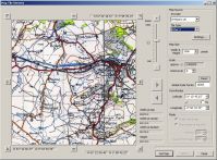
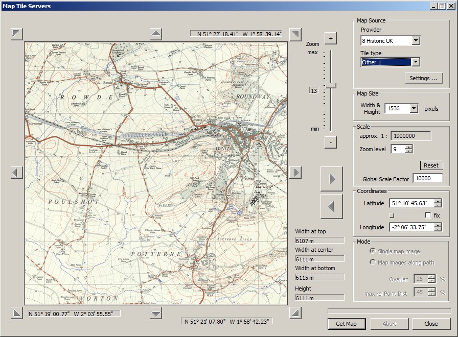
Still at zoom level 13, but now the 1:25000
Historic UK /
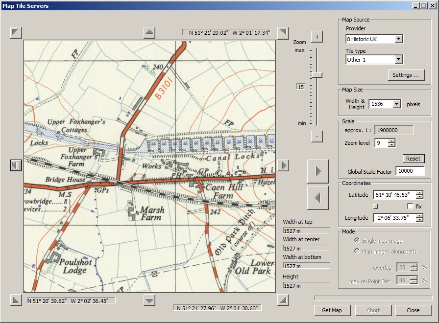
Other 1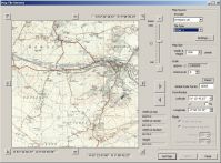
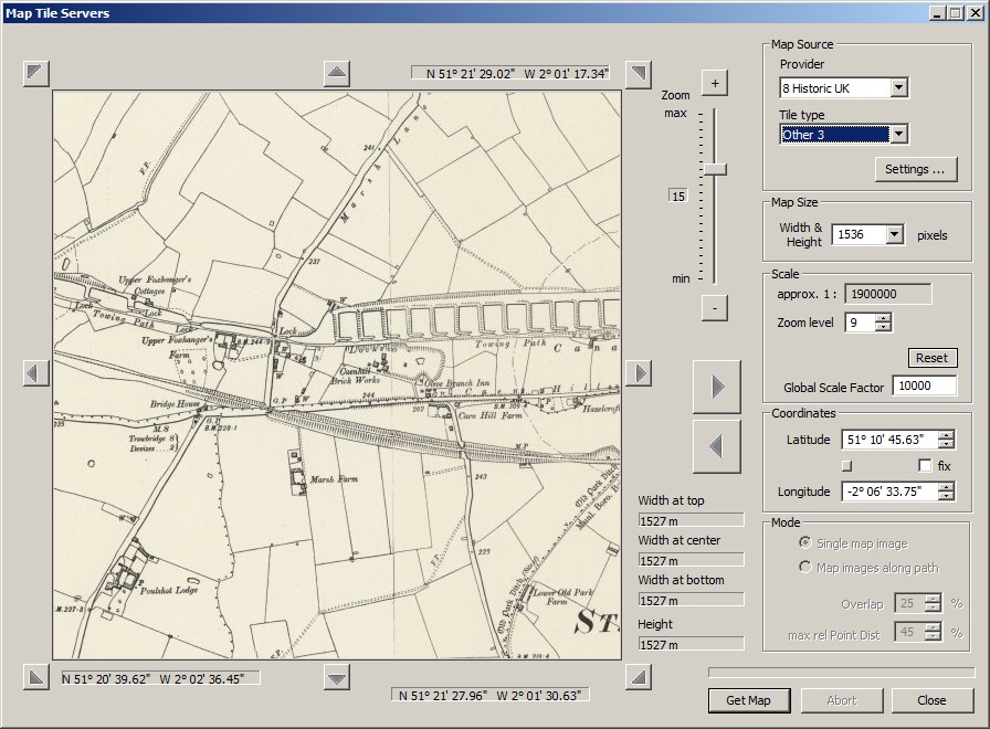
Same map, zoom level 15:
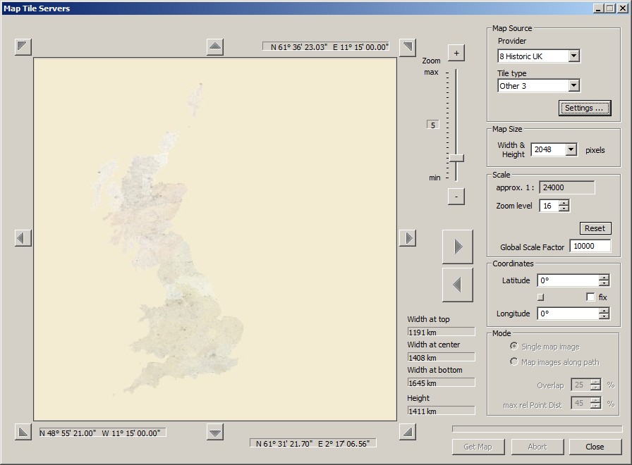
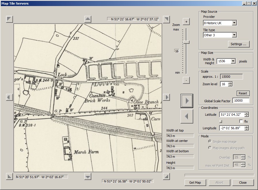
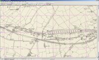
Finally, the new 6 inch map,
Historic UK /
Other 3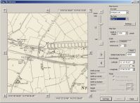
And zoomed in to level 16:

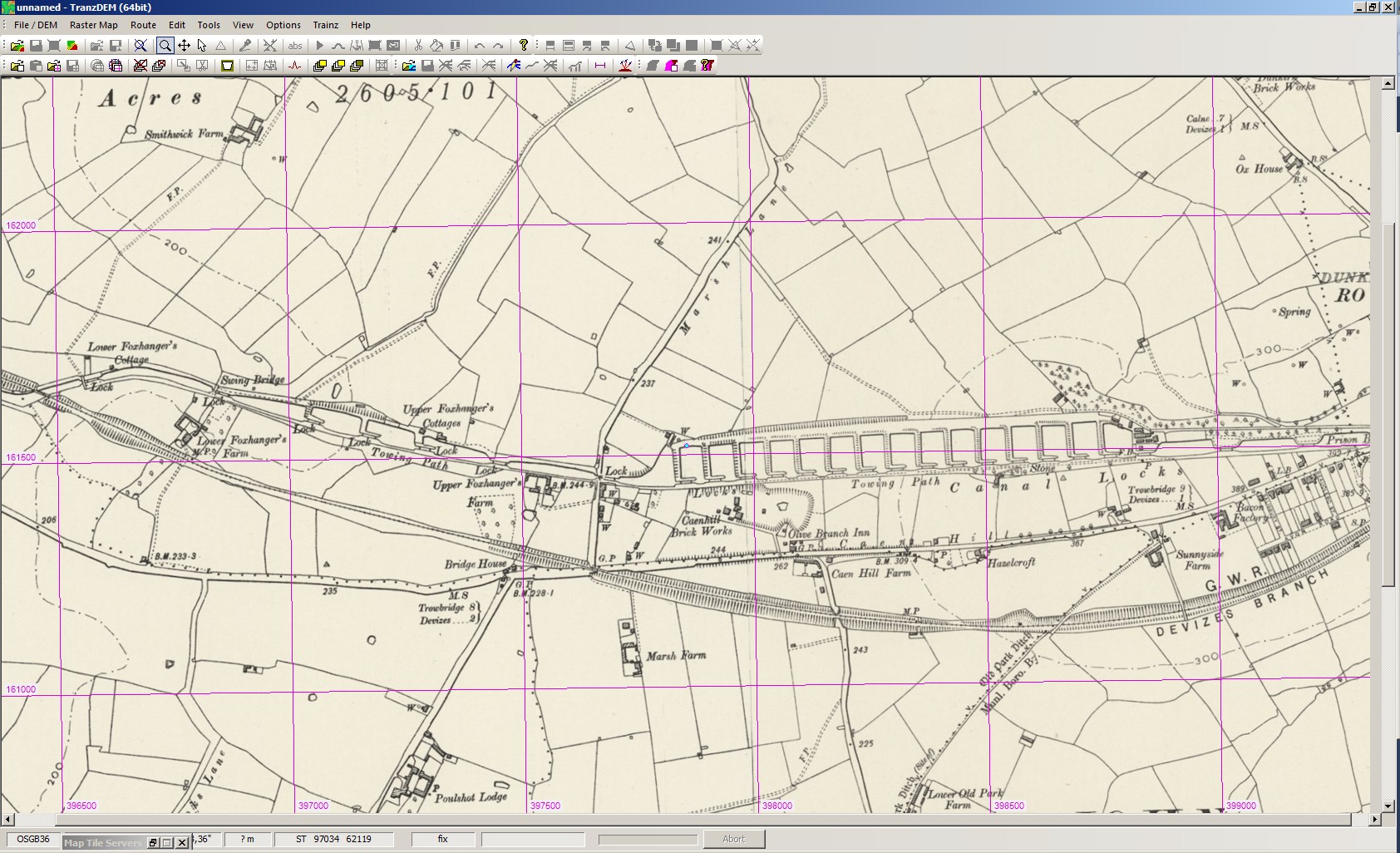
To actually get the map images, we need to copy the preview information from the left to the download parameters on the right by clicking the large right arrow button. In my example I have set Map Size to 2048 pixels. The [Get Map] button will trigger the transfer.
 Please note that the six inch map (1:10000) is unsuitable for ground textures. The 1:25000 map will work with the 5m terrain grid in Trainz, but the six inch maps requires UTM tile objects
 to remain legible.
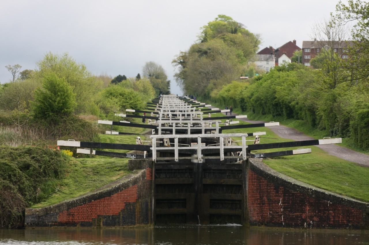
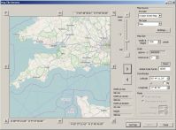
And that's how it looks today in the real world, from below the bottom lock of the 16 in a row. The
Kennet & Avon Canal originally opened in 1810, fell into decline from the 1920s but was restored and reopened in 1990.
Caen Hill is also known as one of the British Canal Wonders.