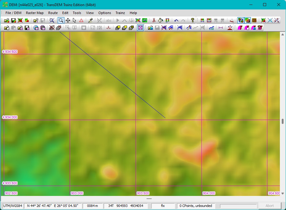
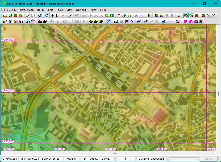
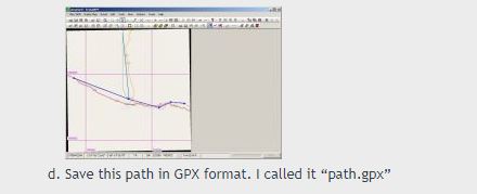
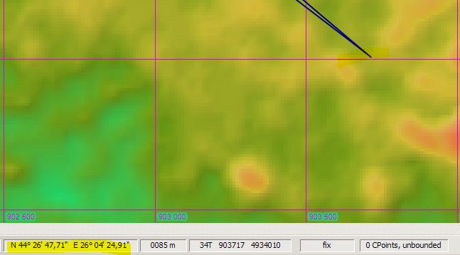
In TransDEM, it is fine, the coordinates for where the route ends are just like in Google Earth:
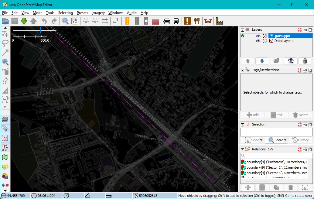
But after I export to GPX and import into JOSM, the same place has different coordinates:
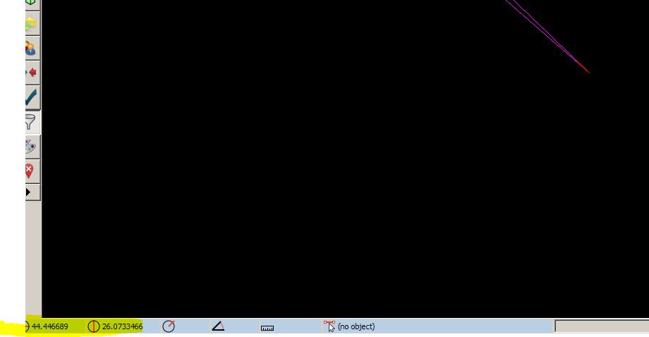
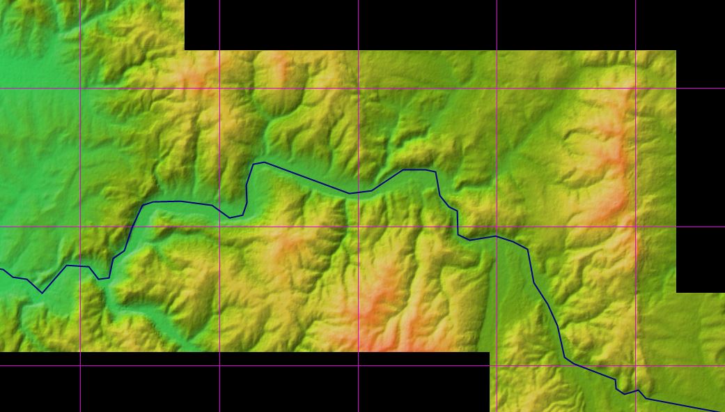
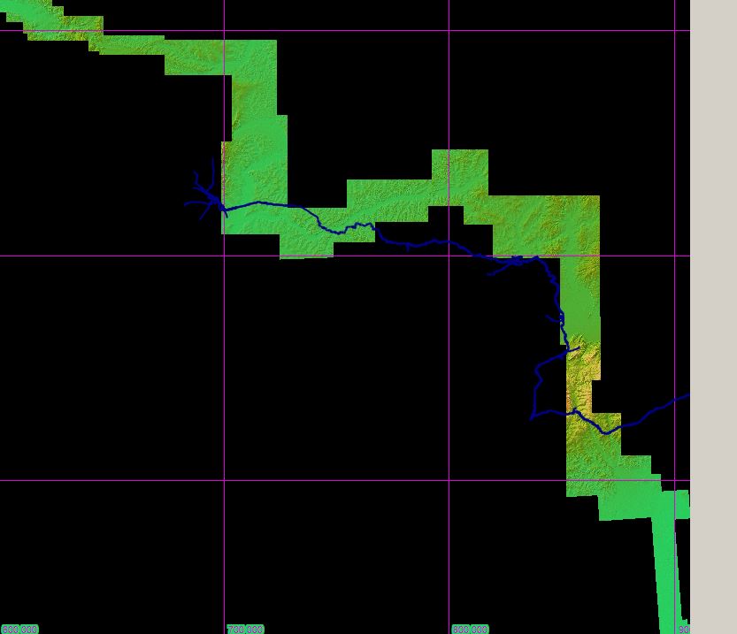
This is why it is skewed; now, why it has different coordinates, I can't tell..