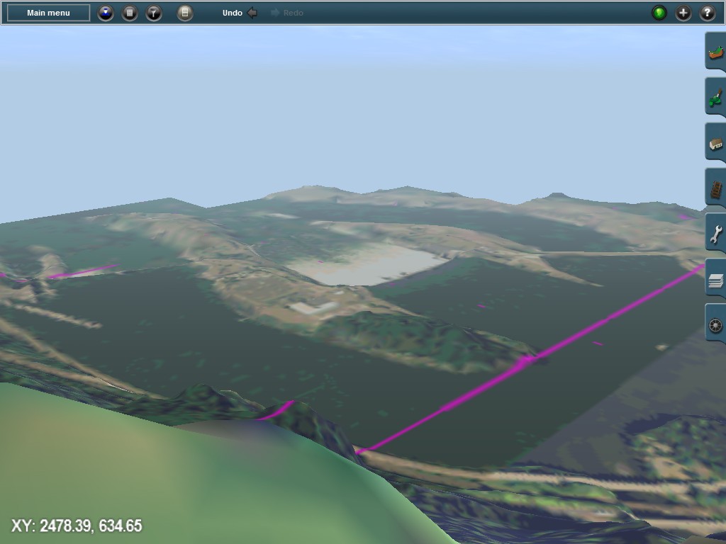
I made a few more tests with 3D UTM tiles and ortho-imagery. The following example is Bonneville Dam, Columbia River, OR/WA state line, which I have used before to experiment and illustrate functionality.
The aerial photos used here are USGS "High Resolution Ortho-imagery". I chose those because they are public domain, no copyright issues in this case. However, they come in JPEG2000 format (.jp2) which TransDEM does not support.
(JPEG2000 is on my todo list for some time, but won't make it into upcoming TransDEM 2.5.)
For this test I manually converted the .jp2 image to ordinary .jpg, and ran GDALinfo to read the geo-referencing data. From that I created a "world file". Jpg image and accompanying world file were sufficient to obtain a geo-referenced image in TransDEM.
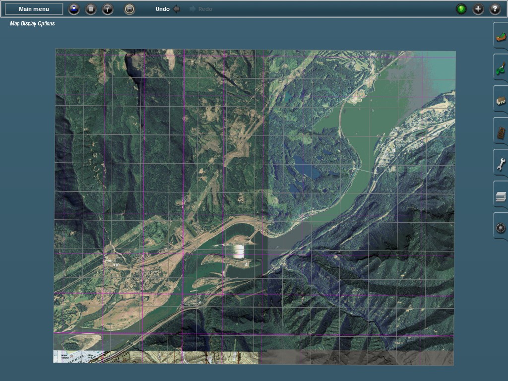
The DEM data is 1/9 arc sec. For this reason I created 3D UM tiles with 5 m resolution - which takes ages to produce. I also selected the "Draw Grid" option to get the 10 grid lines.
This is the rater small "layout", about 70 sq km:
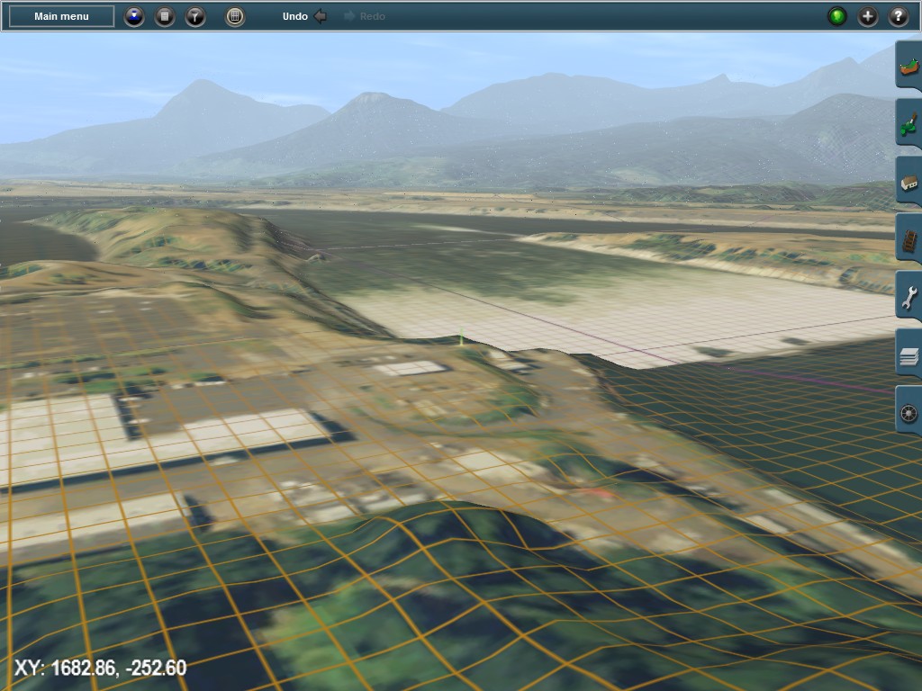
A few impressions with these ortho-images. Resolution is 1 m per pixel here.

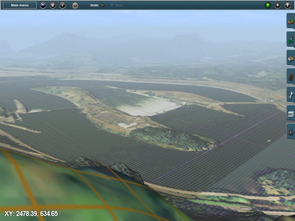
Interestingly, the drawing distance in TS12 for objects appears to be greater than the maximum 5 km you can set for terrain. Sam spot as before, but UTM tile layer switched off: