British Ordnance Survey started a free geo data initiative in early 2010. Among the data sets offered we find a DEM type which is called "Land-Form PANORAMA®". Originally published as a vector map of contour lines it is now also available as a raster map, in two different file formats.
Don't expect sensations, horizontal resolution is 50 m, but this is still about twice as good as 3 arc sec SRTM. I would expect that UK route builders will switch over to this new free DEM source in the future. It required enhancements in TransDEM, though.
TransDEM supports O/S Land-Form Panorama DEMs in ESRI grid format from Version 2.1. Before, TransDEM could only read this format if the coordinates were geographic (lat/long). I extended the ESRI grid reader to also support projected coordinates. Since the coordinate system is not part of the meta data information in the file, it must be specified in TransDEM explicitly. In this case coordinates are O/S grid (OSGB36).
Land-Form Panorama is organised in tiles. Each tile is 20 x 20km. File hierarchy and naming uses the two letter O/S grid square codes:
OSGridSquaresI have added an option to the TransDEM status bar to display the grid square code, see screenshots below. This will be helpful to identify the DEM tiles needed for a project.
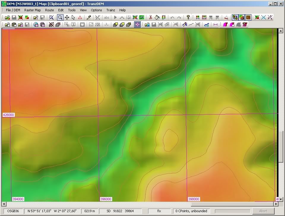
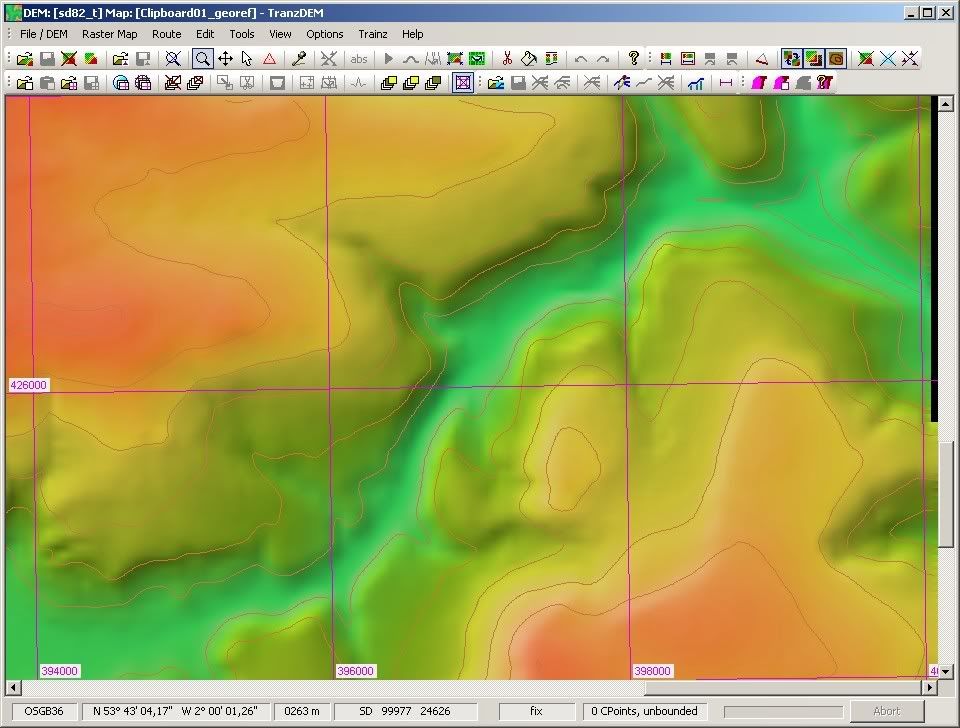
Let's compare SRTM 3 arc sec, rendered as a 60 m grid (it is actually 60 x 90 m), with 50 m Land-Form Panorama. The location is the Pennines, River Calder valley, near Hebden Bridge in Yorkshire. Firstly, a standard DEM view with shading turned on.

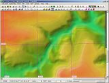
The sharper image is Land-Form Panorama.
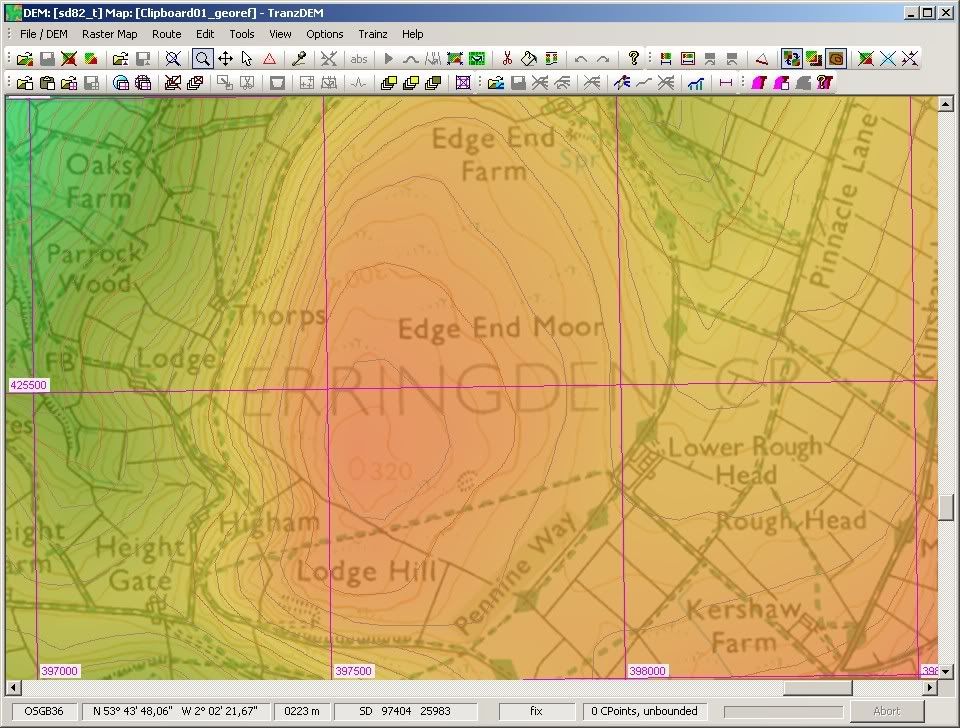
Secondly, a comparison of contour lines. The topographic map in the background is the 1:25000 O/S "Explorer".
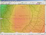
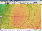
Land-Form Panorama contours provide the better match.
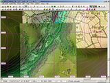
At last, an orthophoto of the valley bottom, this time with Land-Form Panorama only. Nothing exceptional again, but I guess, it's well worth a try.
 [Post copied from the Auran forum]


