TransDEM Forum

TransDEM News, Support, Hints and Resources
It is currently 28 Apr 2024 20:27

All times are UTC + 1 hour


Post new topic Reply to topic  [ 3 posts ] 
Author Message
 Post subject: Roadmap for TransDEM 2.2
PostPosted: 28 Sep 2011 08:38 
Offline

Joined: 05 Jan 2011 16:45
Posts: 1465
As I have indicated in several emails, the next version of TransDEM is in the making. TransDEM 2.2 will support TS12 route file import and also add two new features to the geo data handling process:
  • Support for "World files". These are kind of a poor man's solution to georeferencing map images. World files are extra text files that come with the image file and contain geo coordinate information. They are defined for .jpg, .png and even .tif (neglecting the power of GeoTIFF).
  • Support for DEM data in .bil format

There will also be minor adjustments to improve custom ground texture handling, as this dormant feature is seeing more usage now, with the recent tutorial and ground texture set for aerial images by ModelerMJ.

It will still take a while for TransDEM 2.2 to be finished as I cannot spend much time on it now.


Top
 Profile  
 
PostPosted: 02 Oct 2011 18:32 
Offline

Joined: 05 Jan 2011 16:45
Posts: 1465
The ESRI BIL file format for DEM has been implemented and tested now.

Here is an example form Mexico:

Image

Image

The Mexican government operates a "Seamless Server" for DEMs and the only format is BIL. Resolution is 1 arc sec, approx. 30 m. Time to build the the "Chihuahua al Pacífico" (Chepe) in Trainz?


Top
 Profile  
 
PostPosted: 18 Oct 2011 13:42 
Offline

Joined: 05 Jan 2011 16:45
Posts: 1465
"World files" have been implemented now. These are similar to the .trf files in TransDEM and serve the same purpose, storing georeferencing information for an associated image file.

They contain scale (in meters per pixel), rotation (which must be 0 for TransDEM) and origin (geographic WGS84 by default, but can also be a projected system, unknown in the file). Here is an example in VicGrid94:
Code:
3.883166
0
0
-3.883166
2473541.8
2418110.5

For a .jpg image file the world file will be named .jpgw or, more often, .jgw

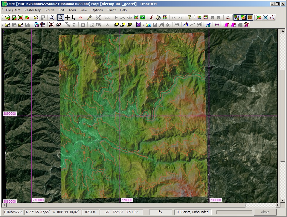
When opening a plain image file for georeferencing, TransDEM will try to locate a World File with the same name in the same directory. If successful this will save the user from entering the coordinates manually.

The same technique will also be used to save one step in georeferencing Google Earth images. TransDEM will not only look for world files but also for placemark files (.kml,/.kmz).


Top
 Profile  
 
Display posts from previous:  Sort by  
Post new topic Reply to topic  [ 3 posts ] 

All times are UTC + 1 hour


Who is online

Users browsing this forum: No registered users and 86 guests


You cannot post new topics in this forum
You cannot reply to topics in this forum
You cannot edit your posts in this forum
You cannot delete your posts in this forum

Search for:
Jump to:  

Imprint & Privacy

Powered by phpBB® Forum Software © phpBB Group