I did some investigation. The clue was "Format: USGS DEM". This did not ring any bell at first. When I started working on TransDEM in 2003, USGS had its cumbersome file format "SDTS" which they later retired and replaced with more middle-of-the-road industry standards for NED. But then I remembered that the Canadian CDED specs had mentioned that their format was based on an earlier USGS file format and I used these specs to compare the individual fields with the actual data in the Norwegian DEM. The Canadians have made some minor amendments and small changes to the original USGS format and the TransDEM implementation is based on the CDED specs. CDED DEMs are always in geographic coordinates but the original format allowed for UTM projected coordinates as well, northern hemisphere only and North American or WGS84 datums only, but that would do to be able to read the Norwegian DEM.
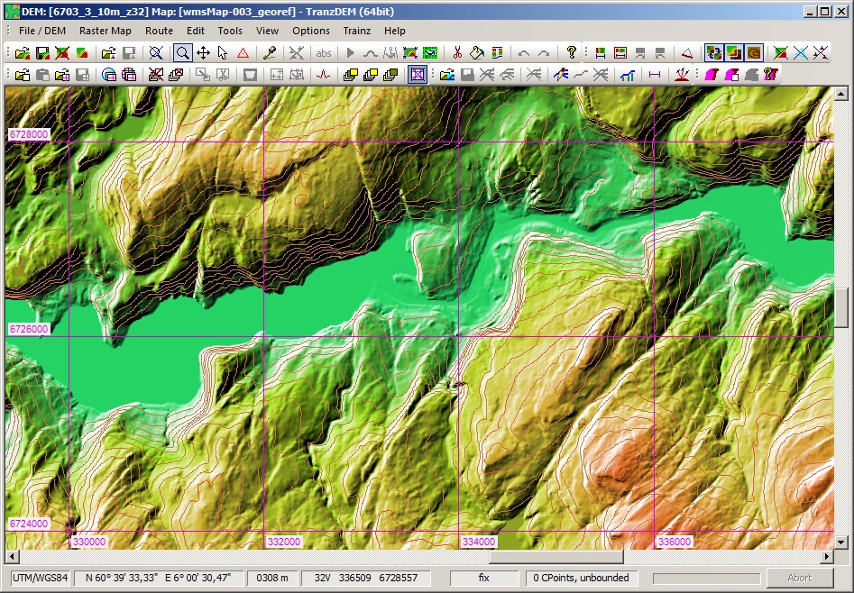
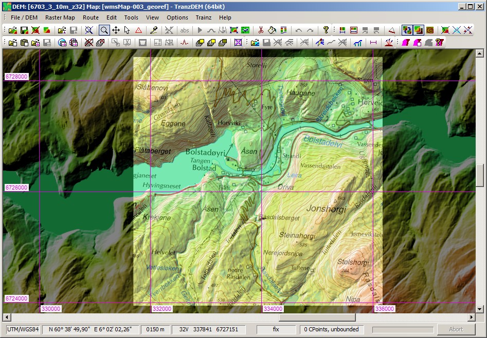
Here it is now, a small section of the Bergen Line, near Bolstadøyri.
DEM alone:

DEM with 1:25,000 topo map, acquired via WMS:

The enhanced CDED DEM interpretation will be available in the next version of TransDEM, most probably as an update to 2.5.


