BigVern wrote:
I can't get my head around how to relate control points to contour tracing.
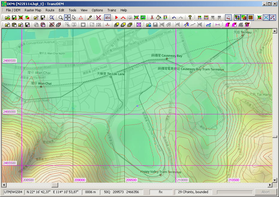
That's pretty simple. Enable contour line emphasis for the triangles. Set the control point template to an absolute height/elevation. Start clicking to place your control points. The contour line should emerge.
A certain difficulty may arise elsewhere. Controls points need an editing area which will normally be a "bounded region", marked by control points in "fix" mode. This bounded region will be a
convex hull. It means that you may have to split the area to edit into more than one region, each one being convex, while the entire area would have had a concave boundary.
My current implementation of the Delaunay triangulation in TransDEM does not allow concavities. Although concavities in the outer boundary can be regarded as a rather simple matter of angle between control points, my algorithm is completely unaware of such forming.
TINs, the triangulated irregular networks, are native to digital cartography. They are actually quite powerful and I will extend their usage in upcoming TransDEM 2.3 to an additional georeferencing option for distorted maps and plans.